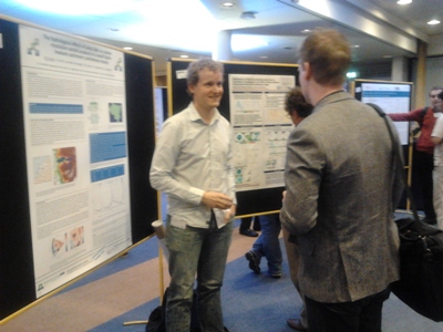
Last week the 11th International Precipitation Conference took place, in Wageningen, Netherlands. FutureWater presented two recent outcomes: one on the spatial prediction of precipitation and the second on the effect of high-resolution rainfall products on small catchments.
The first development presented by Johannes Hunink to experts in the field was the spatial mapping tool for precipitation in highly variable mountain conditions, using several auxiliary remote sensing-based datasets. This product was recently tested in a tropical area of the Andes mountains in Ecuador. Several authorities have shown interest in the product for its application in similar areas with highly variable conditions where more accurate estimates on precipitation with a detailed temporal basis are necessary.
Wilco Terink presented the preliminary results of the effect of high-resolution rainfall products on a Dutch lowland catchment. Preliminary results showed that the amount of annual rainfall can be in the order of 200 mm different between radar (high-resolution) and artificial rain gauges (individual radar pixels). A more in-depth analysis will be performed, including more variations in temporal and spatial resolutions.

Wilco Terink presenting results on the use of high-resolution radar-based rainfall.
