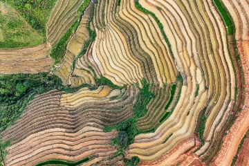
At FutureWater, we develop cutting-edge tools that transform complex water management challenges into actionable insights. Our in-house tools integrate advanced modeling techniques, remote sensing data, and decision-support systems to provide practical solutions for sustainable water management. Designed for policymakers, researchers, and practitioners, these tools enable data-driven decision-making across various sectors, including agriculture, hydrology, and climate adaptation.
By continuously refining and expanding our toolset, we ensure that users can access the latest innovations in water management. Explore our suite of tools to see how FutureWater empowers decision-making through science-based, technology-driven solutions.
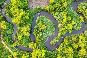
SPHY: Spatial Processes in HYdrology
Meet SPHY, our advanced hydrological model designed to simulate water availability, climate impacts, and land-use changes for sustainable water management. SPHY is a spatially distributed, process-based model that integrates key hydrological components such as rainfall-runoff, evapotranspiration, soil moisture dynamics, and cryospheric processes like snow and glacier melt.
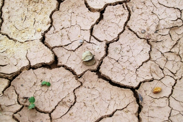
InfoSequia: Drought Monitoring and Forecasting
InfoSequia is a powerful tool for proactive drought monitoring and forecasting. By integrating satellite data, machine learning, and real-time analytics, it delivers precise, impact-based insights to help decision-makers mitigate water scarcity and agricultural risks effectively.
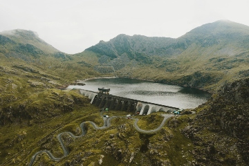
GLOW: Global Water Availability Forecasting
GLOW is our advanced water forecasting tool that delivers real-time insights into water availability and demand. By integrating weather forecasts, hydrological models, and user-friendly visualization tools, GLOW empowers decision-makers to manage water resources effectively, mitigate risks, and enhance transboundary collaboration.
REWEFe: Rapid Evaluation of the Water-Energy-Food-ecosystem Nexus
REWEFe is a user-friendly, Excel-based tool that enables stakeholders to assess the interconnections between the Water, Energy, Food and Ecosystem sectors. By providing scenario analysis, decision support, and clear visual outputs, REWEFe helps users identify synergies and trade-offs, making it an accessible and effective tool for sustainable resource management worldwide.
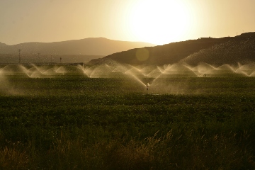
Croptimal: Smart Irrigation and Crop Suitability Advice
Croptimal is a data-driven decision support tool that provides precise, field-level guidance on crop suitability and irrigation management. By combining satellite, weather, soil, and crop data, it delivers actionable insights to help farmers and decision makers optimize planting, improve water efficiency, and build climate-resilient farming systems.
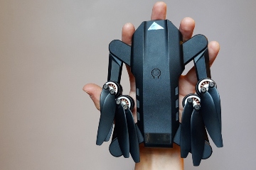
Rapid Eye XS: Real Time In-field Advisory Drone Camera
The Rapid Eye XS is our self-made affordable, lightweight camera module that provides real-time NDVI maps for precision agriculture. By enabling instant crop health insights and on-the-spot advisory services, it helps farmers optimize water use, detect pests early, and improve yields sustainably.
Follow the Water: Partitioning Water Flows in Irrigation Schemes
Meet Follow the Water, a tool that visualizes water flows in irrigation systems to quantify reuse and improve system design. By using virtual tracers, it helps users understand consumed and return flows, supporting efficient water management and modernization efforts.
REWAS: Real Water Savings in Agricultural Systems
REWAS is our user-friendly Excel-based tool for assessing water use and productivity in irrigated agriculture. By integrating diverse data sources and scenario-based analysis, it helps decision-makers evaluate interventions, optimize water management, and improve agricultural efficiency.
HiHydroSoil: High Resolution Maps of Global Soil Hydraulic Properties
HiHydroSoil is FutureWater’s global gridded dataset providing detailed soil hydraulic properties at 250 m resolution, enhancing hydrological and environmental modeling worldwide through freely available, high-quality soil data derived from SoilGrids and pedotransfer functions.

WatNEX: Water Accounting Engine to Support NEXUS Analysis
WatNEX is a user-friendly FutureWater tool that analyses interactions between water, energy, food, and ecosystems using water accounting data. It extends WEAP with a dedicated plugin and delivers results through an Excel dashboard for scenario analysis and decision-making.
