The Hindu Kush-Himalayan region is highly dynamic as there are many socio-economic and environmental drivers at play, including climate change. The impacts of these changes challenge the resilience of natural and human capacities and environments in the region. Recent studies have shown that the Himalayan region and the downstream areas that depend on its water supply and ecosystem services are particularly vulnerable to climate change. In order to study the contributing roles of snow, glaciers, precipitation and groundwater to the total water resources, and how these roles might change in the future, a hydrological model is required that includes cryosphere and mountain hydrology.
During the last couple of years FutureWater, in collaboration with ICIMOD, has developed the state of the art Spatial Processes in Hydrology (SPHY) model. This model was developed using the best available components of existing models resulting in a simulation model that is i) flexible in scaling, ii) includes cryosphere, mountain hydrology, lowland hydrology and land surface processes, iii) is in the public domain, and iv) can be linked to remote sensing. ICIMOD intends to make this model more accessible to its partner institutions in the region, and in order to realize this goal, FutureWater has recently developed a Graphical User Interface (GUI) for the SPHY model. This GUI has been developed using Python, and can be loaded as plugin inside the open-source and user-friendly QGIS environment.
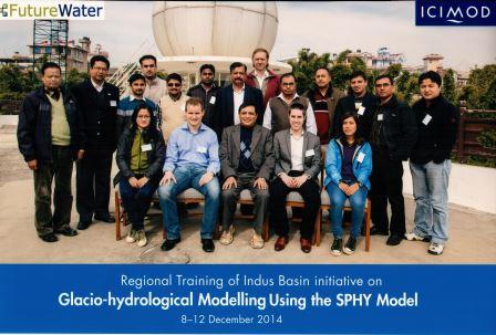
During the week of 8-12 December, FutureWater provided hands-on training to ICIMOD staff and partner institutions in using the SPHY model in combination with the interface. The objective of this course was to ensure that the SPHY model can be applied by a wider range of experts with basic hydrological and computer skills. This course was given by Wilco Terink and Arthur Lutz from FutureWater, and was organized by ICIMOD. All course participants came from the Hindu Kush-Himalayan (HKH) region, and consisted of ICIMOD staff members, students from Kathmandu University, the Wadia Institute of Himalayan Geology (WIGH, India), the Pakistan Meteorological Department, and WAPDA (Pakistan).
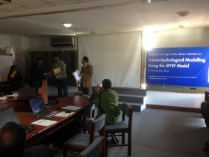
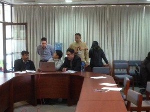
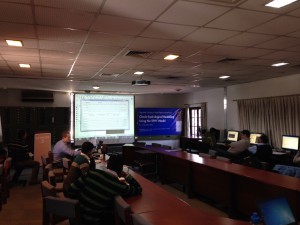
The first day mainly covered the concepts and theory behind the SPHY model, and provided an introduction to the GUI. During the second and third day, the participants learned how-to work with the model and the GUI by doing a case study for the Trisuli River Basin. This case study consisted of selecting input data, model parameters, and analyzing model output. Additionally, a sensitivity analysis and calibration were performed. The last two days of the course were aimed at building your own SPHY model. All participants were asked to bring their own data, such that they could start setting up the SPHY model for their area of interest. The week was closed by a ceremony in which all course participants received a certificate of successful completion of the course “Glacio-hydrological modelling using the SPHY model”.