The Silk Road Economic Belt (SREB) is part of the Belt and Road Initiative, being a development strategy that focuses on connectivity and cooperation between Eurasian countries. Essentially, the SREB includes countries situated on the original Silk Road through Central Asia, West Asia, the Middle East, and Europe. The initiative calls for the integration of the region into a cohesive economic area through building infrastructure, increasing cultural exchanges, and broadening trade. A major part of the SREB traverses Asia’s high-altitude areas, also referred to as the Third Pole or the Asian Water Tower. Most hydrological research has focused on the southern parts of the mountain ranges (i.e. the river basins encompassing the Hindu Kush, Karakoram and Himalayan mountain ranges, whereas the northern and western domains of the Third Pole (i.e. the domains traversed by the planned SREB) form a research gap. The Chinese Academy of Sciences launched a multi-year research programme called Pan-Third Pole Environment (Pan-TPE), focusing on climate change on the Tibetan Plateau, its impacts, and the development of pathways to sustainable development.
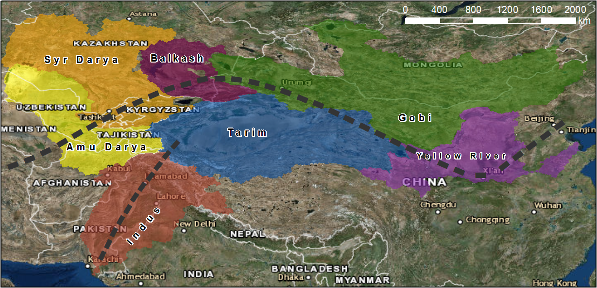
Given the strong role of large-scale hydrology in the proposed research activities, the spatial domain of the activities encompasses the river basins of the Third Pole which are traversed by the SREB. The included SREB transects are the branch connecting Beijing to Central Asia via Xi’an and Urumqi, and the China-Pakistan Economic Corridor connecting Southwest China to northern Pakistan. This means that the river basins of the Amu Darya, Syr Darya, Indus, and Yellow river are included, as well as the Tarim and Gobi interior basins. The research activities encompass the entire river basins, but particularly focus on the SREB transect.
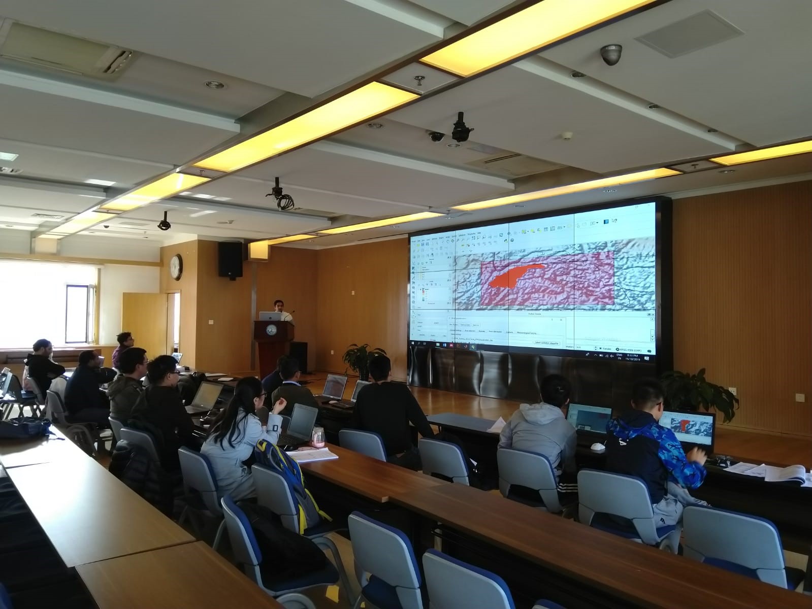
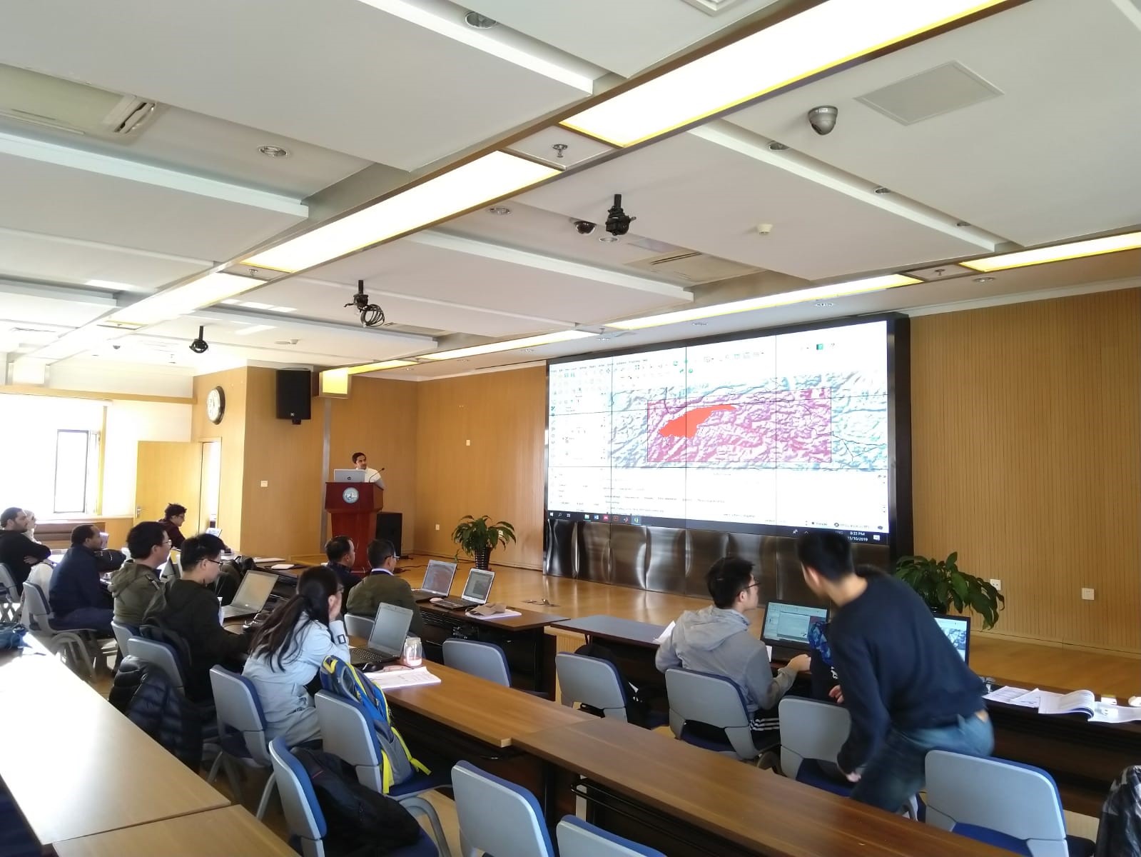
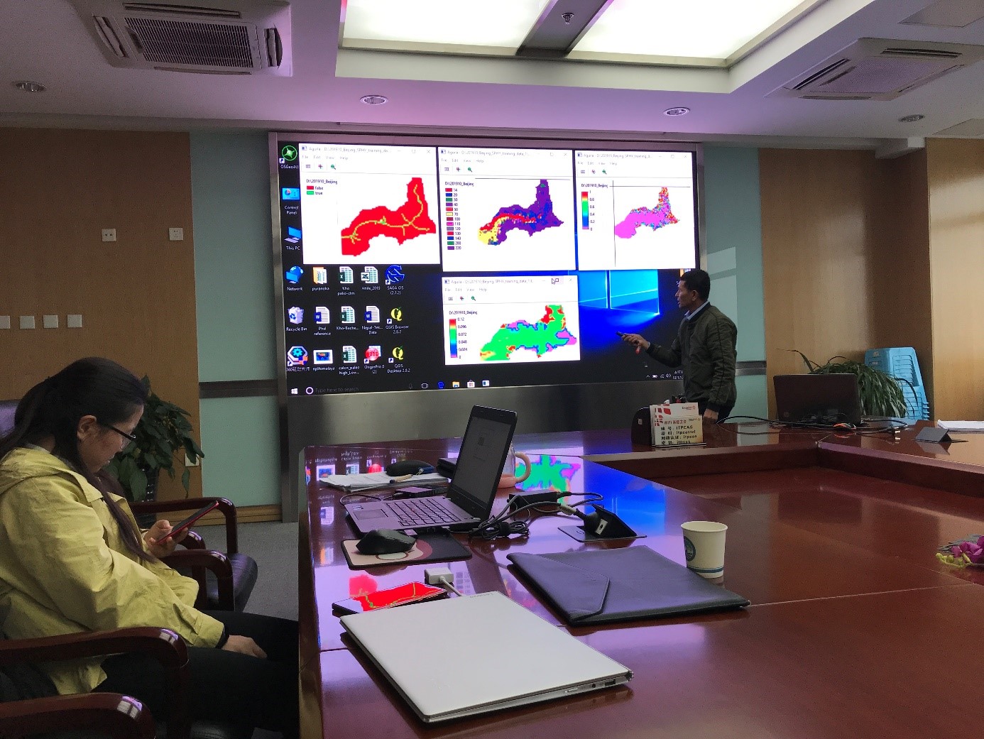
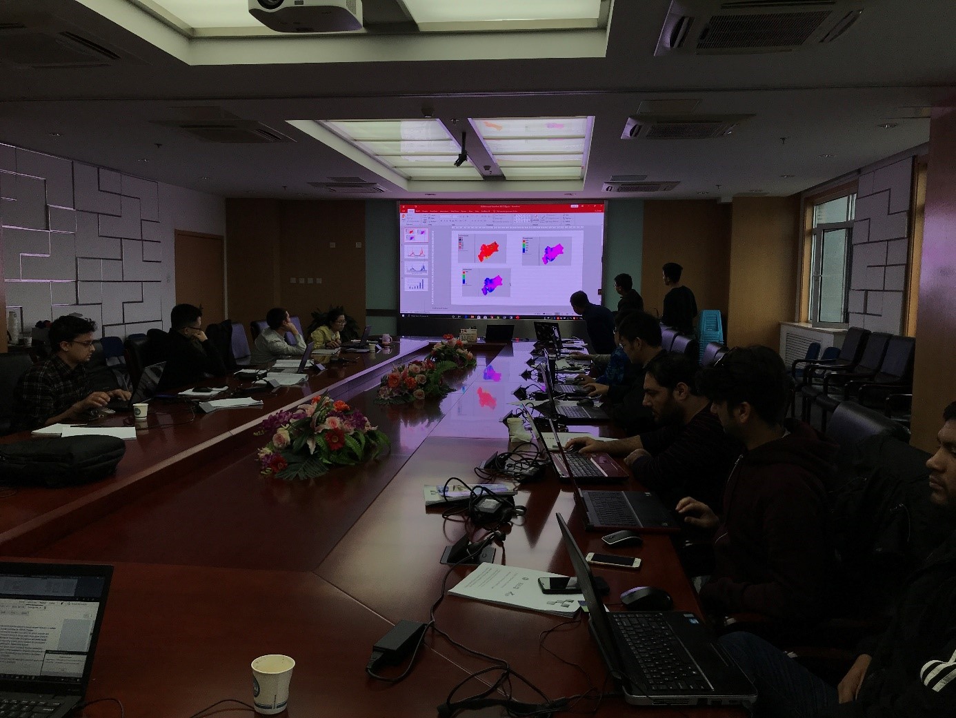
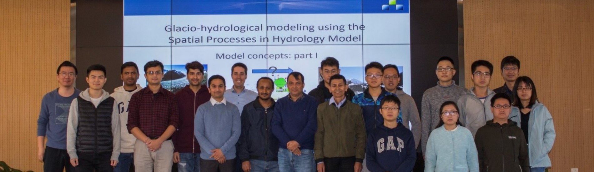
The project involves a close collaboration with Chinese counterparts. To this end, a training program was conducted at Institute of Tibetan Plateau Research, Beijing (ITP) from 14th October to 18th October, 2019. This training was attended by nineteen researchers (3 female and 16 male) from ITP. The overall objective of this training was to train glacio-hydrological modeling with FutureWater’s Spatial Processes in Hydrology (SPHY) model, and transfer the knowledge regarding the Pan-TPE Water Tower hydrological model. The participants used the SPHY hydrological model to understand the changes in the glacio-hydrological regime of their own region of interest. The first days of the training were mainly dedicated to understanding of the basics of hydrological modelling using SPHY. The participants were encouraged to develop the SPHY model of their own interest area. The later part of training was dedicated to share and discuss the Water Tower model set up by FutureWater.
Overall, the training fulfilled all the needs of the project, and was positively evaluated by the participants. This training program has encouraged the researcher from ITP to use SPHY in their future research, and lead to further enhancement of the collaboration between Chinese and Dutch researchers. More information about the SPHY model as well as model documentation, tutorials and software downloads can be found on the SPHY website.
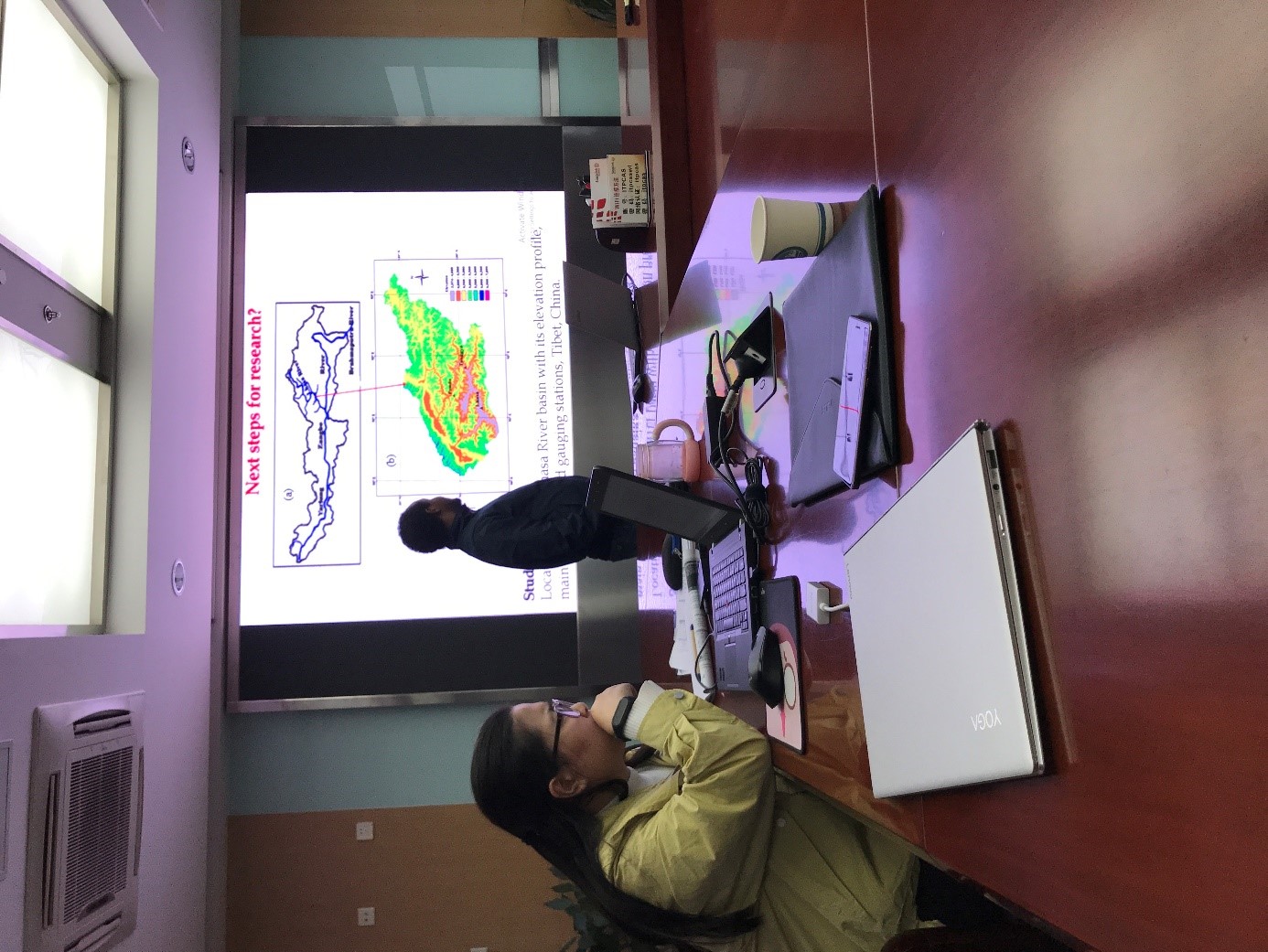
Below, you can find some pictures, taken during the training at the Institute of Tibetan Plateau Research.