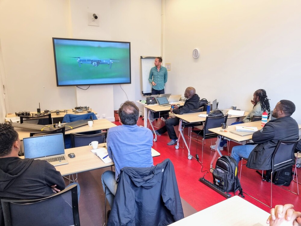
This week, FutureWater, in collaboration with its partner HiView, conducted a two-day workshop at IHE Delft Institute for Water Education, which works in association with UNESCO. The workshop was part of the master’s degree program, with seven students receiving education on the theory of flying sensors (commonly known as drones), their various applications, and their utilization in agriculture, matching the number of attendees from the previous year.
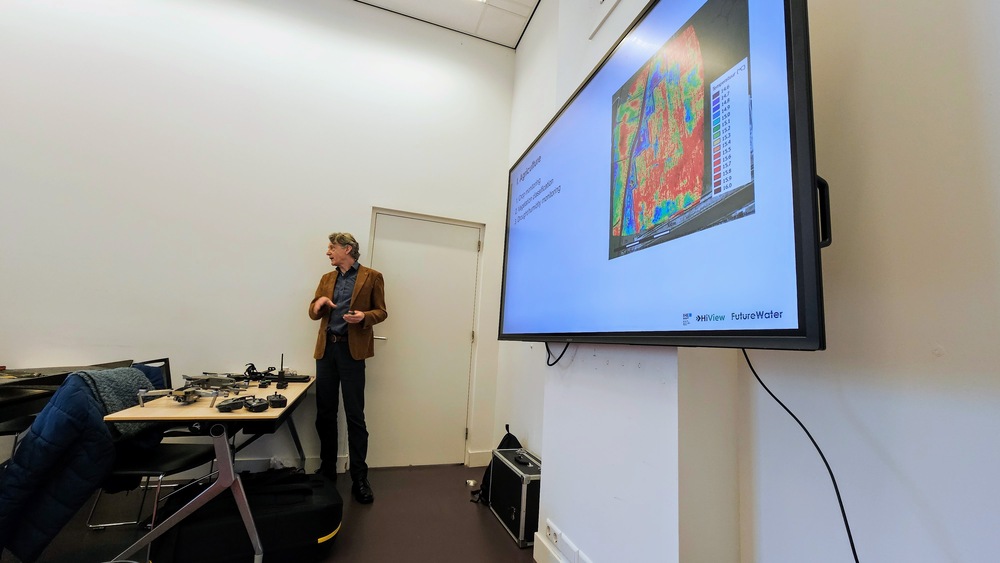
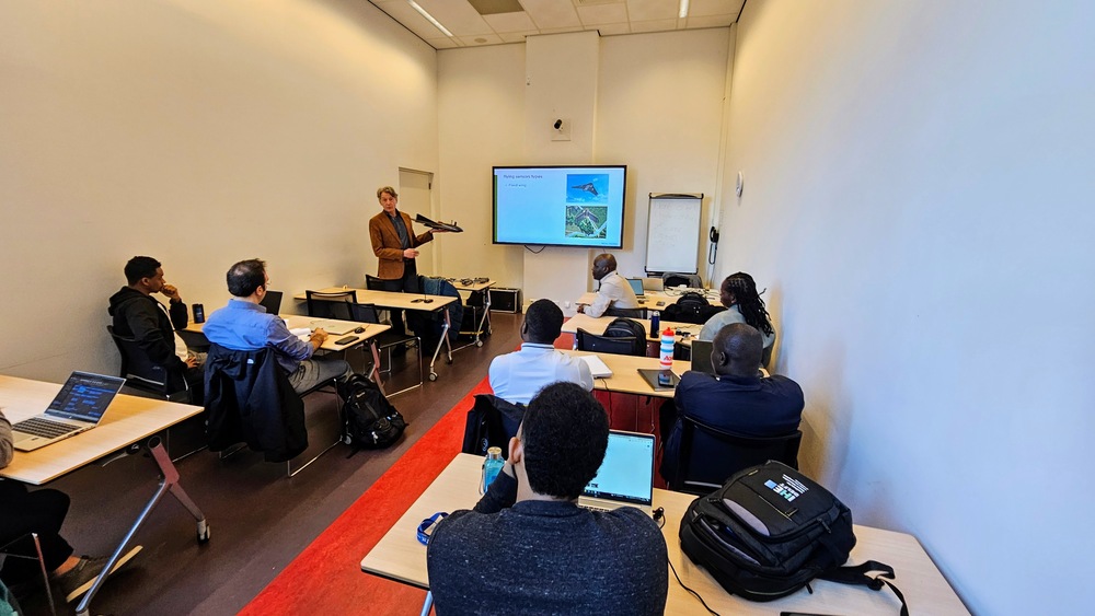
On the first day, participants were engaged in a classroom session that covered the history, technical aspects, and applications of flying sensors, alongside an introduction to image processing. Additionally, they delved into FutureWater’s diverse drone projects across Africa, where drones are primarily used to create NDVI (Normalized Difference Vegetation Index) maps for farmers. These maps highlight areas of crop stress, indicated by red, signaling potential issues such as water or nutrient deficiencies or the presence of pests or weeds. With specialized cameras, these drones can detect stress signs up to 10 days before they become visible to the naked eye, allowing farmers to take preemptive actions to prevent crop damage and achieve higher yields. This approach also enables farmers to optimize their use of water, fertilizers, and pesticides by targeting only the affected zones.
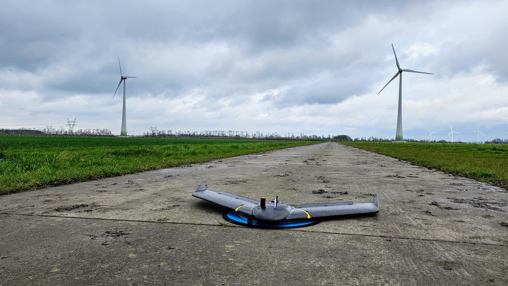
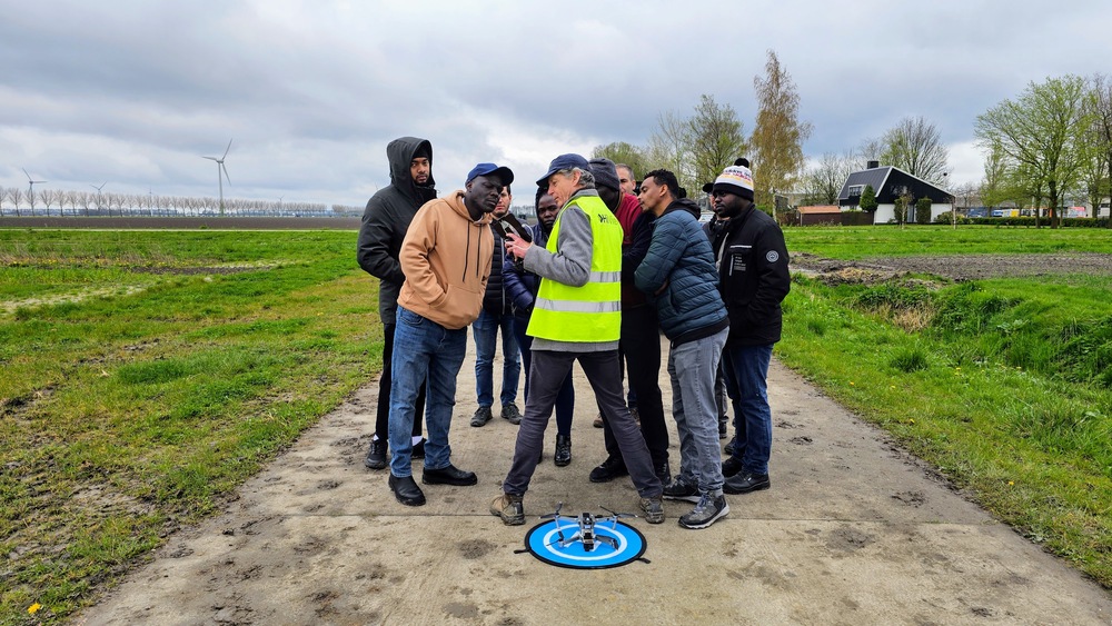
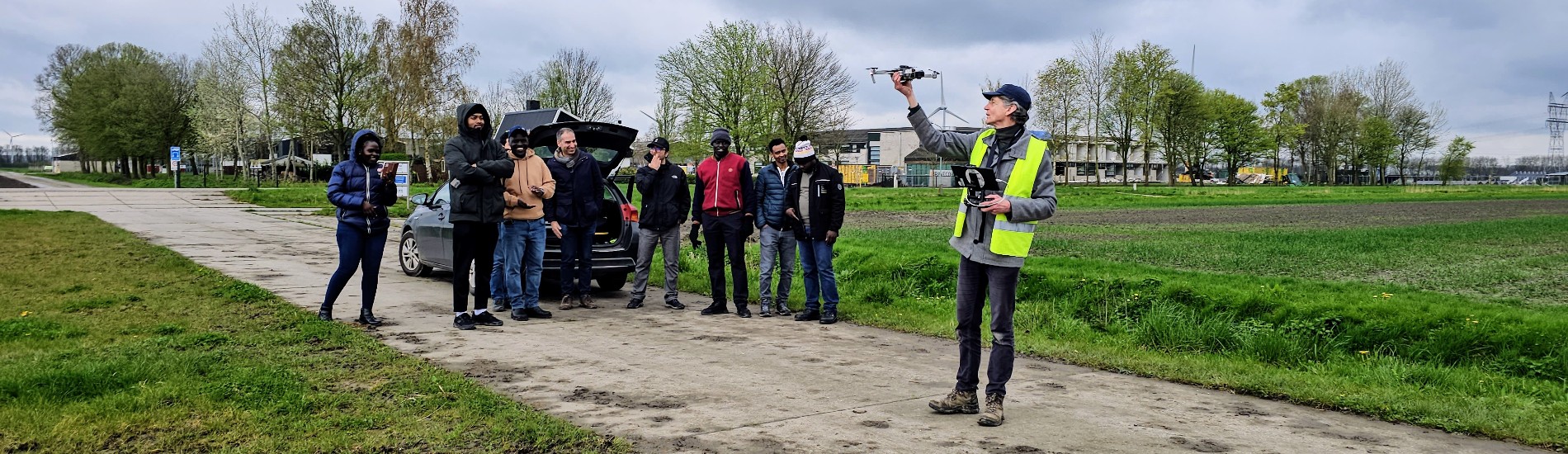
The second day featured an excursion to the Farm of the Future, a project in Lelystad, Flevoland, that brings together Wageningen University & Research and innovative Dutch farmers to develop viable solutions for contemporary agricultural challenges. Contrary to the previous year’s rainy conditions, the weather remained clear, enhancing the outdoor learning experience. During this visit, the eBee fixed-wing drone was showcased among other drone flights, including the demonstration of the DJI Mavic 2, a highly maneuverable quadcopter used by FutureWater and HiView in projects within Kenya and Mozambique. Additionally, the innovative Rapid Eye XS drone, developed by HiView for small-scale agriculture among other applications, was introduced. This ultra-light drone is capable of processing NDVI imagery onboard and is user-friendly, marking a step forward in precision agriculture technology.