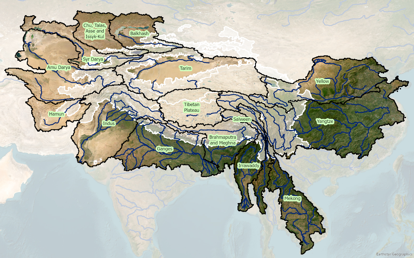
Within 3POLE4FOOD, FutureWater contributes to the assessment of long-term climate change impacts on water availability and crop production in major Asian river basins. The project combines mountain hydrology modelling with downstream hydrology and crop production modelling to better understand how changes in snow, glacier melt, rainfall and temperature affect irrigation water supply and agricultural production.
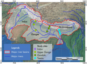
FutureWater leads key technical activities related to climate forcing, bias-correction of meteorological dataset and the generation of climate change scenarios. Together with Hydrominds and Wageningen University we perform glacio-hydrological modelling and the analysis of upstream–downstream water linkages. Using the SPHY model, historical and future streamflow from mountain areas, including the contributions from rainfall, snowmelt and glacier melt are simulated. These outputs are coupled with the LPJmL model to assess downstream water availability, irrigation demand, crop yields and crop water productivity under future climate and socio-economic scenarios.
The project provides a scientific basis for identifying at-risk areas and understanding where agricultural systems may become more vulnerable to changes in mountain water supply. By linking climate, hydrology and food production, 3POLE4FOOD supports evidence-based planning for resilient river basins and sustainable food systems in Asia.