Nepal offers an ideal testing ground due to strong government support for climate-smart agriculture, a large population of vulnerable smallholders, and active engagement from organisations like Climate Resilience Research Centre (CRRC) and International Centre for Integrated Mountain Development (ICIMOD). Results from this feasibility will support national policy goals and can be scaled to similar mountain regions across South Asia.
This project focuses on Syangja District, Gandaki Province, which faces growing water scarcity and unpredictable rainfall, especially on hillside farms reliant on spring-fed irrigation and rain-fed agriculture. These conditions make traditional irrigation unworkable and create a need for low-pressure, affordable, and locally adaptable solutions. The Smart Sprayer combines practical hardware with a digital advisory tool to optimise limited water use — a frugal innovation tailored for smallholder needs.
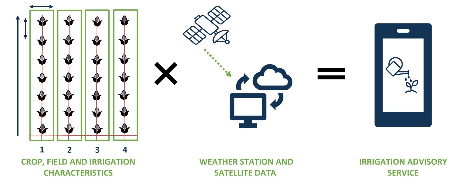
The project entails the feasibility of an integrated, low-cost “Smart Sprayer” irrigation system based on SOSIA but tailored for hillside farming that delivers practical WhatsApp/SMS irrigation advice. The main innovation is the Smart Sprayer, a gravity-fed, low-pressure micro-pivot irrigation device paired with a tailored Smart Irrigation Tool. The digital platform delivers daily, data-driven irrigation advice to farmers’ phones. Together, these offer a scalable and cost-effective package for precise and efficient water use on remote hillside farms.
The main objective is to improve water security and agricultural productivity for mid-hill smallholders during the dry season in Nepal. More specifically, to demonstrate the technical, economic and social feasibility of a low-pressure irrigation solution in combination with irrigation advisory based on remote sensing data and weather forecasts. This includes market research and development of business cases for both farmers and local suppliers.