The government of Georgia has requested the assistance of the Asian Development Bank (ADB) and the European Bank for Reconstruction and Development (EBRD) to progressively improve the North–South Corridor by (i) constructing a 23-km two-lane bypass road, (ii) providing adequate safety features and improving geometric alignment and (iii) providing well-designed tunnels that will enable safe and year-round two-way traffic. FutureWater has undertaken a Climate Risk and Vulnerability Assessment (CRVA) in which (i) the sensitivity of the project components to climate and/or weather conditions has been assessed, and (ii) climate risks and adequacy of proposed technical solutions have been assessed.
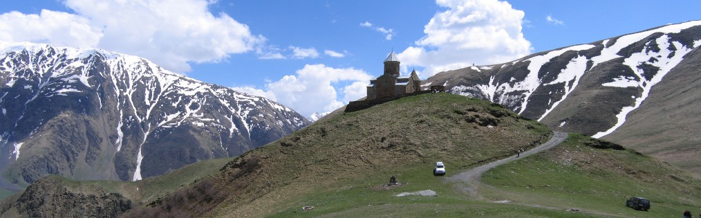
The North–South Corridor serves as the main transport artery for the region, which spans quite diverse and spectacular terrains from the historic capital of Georgia, Mtskheta, up north to Stepantsminda in the Great Caucasus mountain range. The road experiences heavy traffic and is unsafe due to a design that is inadequate for the challenging geographical and climatic conditions, particularly in winter. The area is prone to avalanche, landslide, and snow load risks, which cause frequent and extended closures of the road. The two-lane highway provides a low standard alignment and is characterized by substandard open tunnels and avalanche galleries, in which modern trucks cannot pass simultaneously. An upgrade of the existing road alignment with improved geometry and avalanche galleries was considered but deemed inappropriate as it would not address the core climate-related risks.
Recognizing these challenges, the government has therefore requested ADB’s and EBRD’s assistance to improve the North–South Corridor. The climate-resilient project road will allow more traffic to travel on it safely and will remain fully operational all year. A detailed Climate Risk and Vulnerability Assessment (CRVA) report has been developed for the project road. The projected increase in extreme precipitation events is considered as the most important climate risk for the project road. This not only leads to higher extreme discharges, but can also lead to more frequent landslides, mudflows, and avalanches. The climate model analysis yields following conclusions for the project area:
- Temperature increases by about 2 °C (RCP4.5) to 2.7 °C (RCP8.5) are to be expected
- Minimum and maximum temperature are likely to change inconsistently, with maximum air temperatures increasing more than minimum air temperatures. This implies a larger diurnal temperature range for the future
- Extremes related to temperatures (e.g. warm spells, extremely warm days) are likely to increase in frequency and intensity
- Precipitation totals are likely to stay reasonable constant
- Precipitation extremes are likely to increase in frequency and intensity. Maximum 1-day precipitation volumes with return periods of 25, 50 and 100 years are expected to increase by about 10% to 20%.
Stress tests were carried out by the project road design consultant team using +10% and +20% increased precipitation input for return periods used in the engineering design. These tests revealed that bridges have sufficient capacity in the current design to cope with higher discharge levels in the future, although it would be prudent to check the bridge substructure designs for higher flow velocities and the possibility of increased debris content in the flow. The tests indicated that a small proportion of the transversal and longitudinal drainage systems might have insufficient capacity to cope with the increased precipitation extremes. These should be identified, and their dimensions increased appropriately.
Related publications
2019 - FutureWater Report 182
 Nolet, C., A.F. Lutz. 2019. Climate Risk and Vulnerability Assessment North-South Corridor (Kvesheti-Kobi) Road Project, Georgia. FutureWater Report 182.X
Climate Risk and Vulnerability Assessment North-South Corridor (Kvesheti-Kobi) Road Project, Georgia
Nolet, C., A.F. Lutz