The WAT4CAM program aims to apply IWRM and ISWM principles towards achieving the strategies of the government of Cambodia. This project (WAT4CAM subcompoment 3.1) supports this objective by performing a detailed hydraulic and hydrological modelling study, of which the outcomes will be used in the implementation of Prek rehabilitation works. An integrated approach of models, satellite remote sensing and field surveys is applied to generate an advanced understanding of the complex dynamics of the hydrological system. Several capacity building sessions are organized to share this knowledge with MoWRAM technical staff and the other WAT4CAM components.
In 2017, AFD approved to finance the Water Resources Management and Agro-ecological Transition for Cambodia “WAT4CAM” Program Phase 1. This program will contribute to reduce poverty, develop the economy and reduce the vulnerability of rural populations to climate change by implementing a hydro-agricultural infrastructures rehabilitation program through an integrated approach, targeting the whole chain of water resources management, water services and agricultural production.
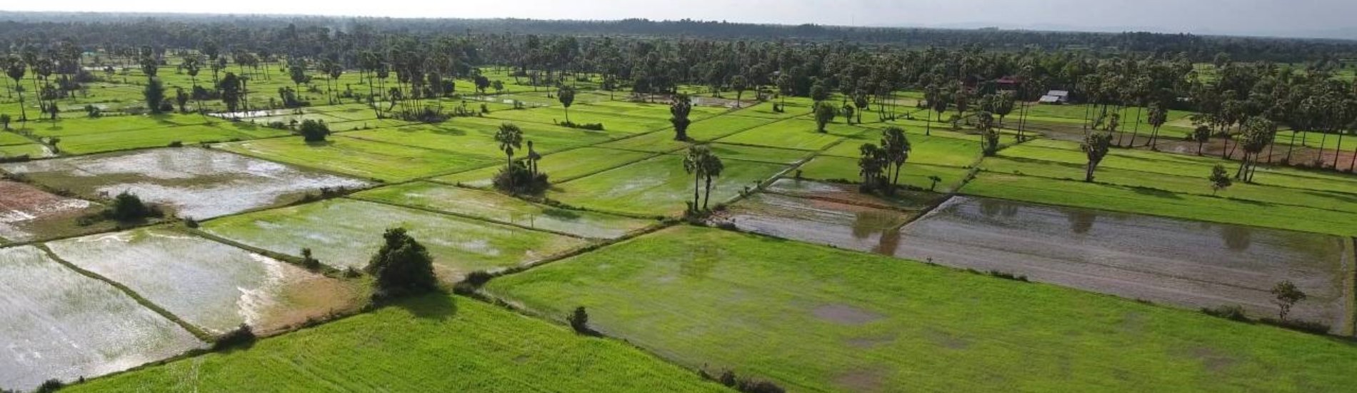
The strategy is to achieve intensification of cropping, modernization and climate smart practices to provide farmers with secure access to water. This is a challenging objective and a good understanding of the hydraulics of water flows in dry and wet season is needed. A consortium led by FutureWater was hired to perform WAT4CAM subcomponent 3.1, which concentrates on providing this understanding of both flood and dry season flows, demands and balance in the Preks intended for rehabilitation.
The initial stages of the project include the identification of current data, models and previous work, as well as a field survey with stakeholders. This information will be used to create an accurate and reliable modelling ensemble that makes maximum use of existing capacity in Cambodia. In addition, the consortium will use satellite-derived data products to (i) provide input to the simulation models, and (ii) calibrate and validate model results. Various sources of satellite imagery will be explored to map floods and irrigation practices, to implement an integrated “space hydrology” approach.
The modelling and knowledge generation from this study must support the other WAT4CAM components for the successful implementation of the Prek irrigation system improvements. The modelling itself is thus not the ultimate purpose, but rather the understanding and knowledge imparted to MoWRAM and the other components of the WAT4CAM program.
FutureWater’s role in the project is the overall project coordination and administration, as well as the implementation of satellite remote sensing and climate change analyses in support of the modelling components.
Related publications
2022 - Technical Report
 Simons, G.W.H., A. Green TL. 2022. WAT4CAM: Mekong-Bassac Hydrological and Hydraulic Study. Final Report.X
WAT4CAM: Mekong-Bassac Hydrological and Hydraulic Study. Final Report.
Simons, G.W.H., A. Green TL