Cambodia’s water resources are increasingly under pressure from climate change, rapid socio-economic development, land-use change, and growing competition between water users. In the Tonle Sap River Basin Group, seasonal floods and dry-season water scarcity already affect agriculture, livelihoods, ecosystems, and infrastructure. At the same time, river basin planning in Cambodia remains fragmented, with existing plans often differing in methods, time horizons, and links to national investment planning. The Cambodia Resilient River Basin Masterplan responds to this need by supporting a more integrated, evidence-based, and climate-resilient approach to river basin management.
FutureWater is part of a consortium led by Alluvium, working with the Asian Development Bank and Cambodia’s Ministry of Water Resources and Meteorology to prepare the Cambodia Resilient River Basin Masterplan. The first phase focuses on the Tonle Sap River Basin Group and develops river basin management and investment plans for 11 river basins. These plans assess current and future water availability, sectoral water demand, flood and drought risks, climate change impacts, ecosystem conditions, and priority investment needs.
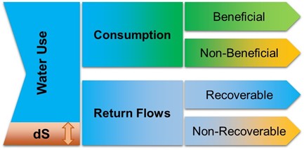
FutureWater leads key technical components related to hydrology, water resources modelling, climate risk assessment, remote sensing, and water accounting. Building on its earlier work in Cambodia, including WEAP-based water resources assessments for the Tonle Sap and Mekong Delta river basin groups, FutureWater updates and expands basin models, integrates satellite-derived and local datasets, assesses current and future water balances, and supports scenario analysis for water allocation and investment planning. This evidence base supports the prioritisation of resilient water infrastructure, irrigation modernization, nature-based solutions, watershed restoration, and demand management measures.
A strong emphasis is placed on capacity building and practical uptake. FutureWater contributes to the development of tools, datasets, modelling workflows, and training materials that can be used by Cambodian institutions, including MOWRAM and the National Water Resources Management Data Centre, to support future river basin planning and adaptive water resources management.