A scientific paper was recently published in Remote Sensing (doi: 10.3390/rs17111855) presenting the advanced technology developed by the MAGDA project, which integrates multiple sensor platforms and modeling tools to enhance agricultural weather forecasts and irrigation advisories.
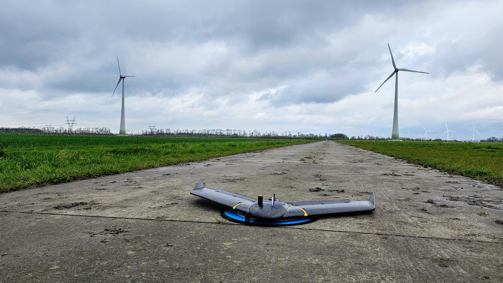
This new research offers a breakthrough in precision farming by combining data from European satellites, drones, ground sensors, and GNSS signals for highly localized and accurate weather and soil moisture monitoring.
The MAGDA system provides significant advantages by improving short-term weather predictions and irrigation scheduling at the field scale, addressing challenges posed by climate change and extreme weather. Farmers gain access to precise information that helps optimize water use, reduce waste, and better protect crops from droughts, floods, and hailstorms.
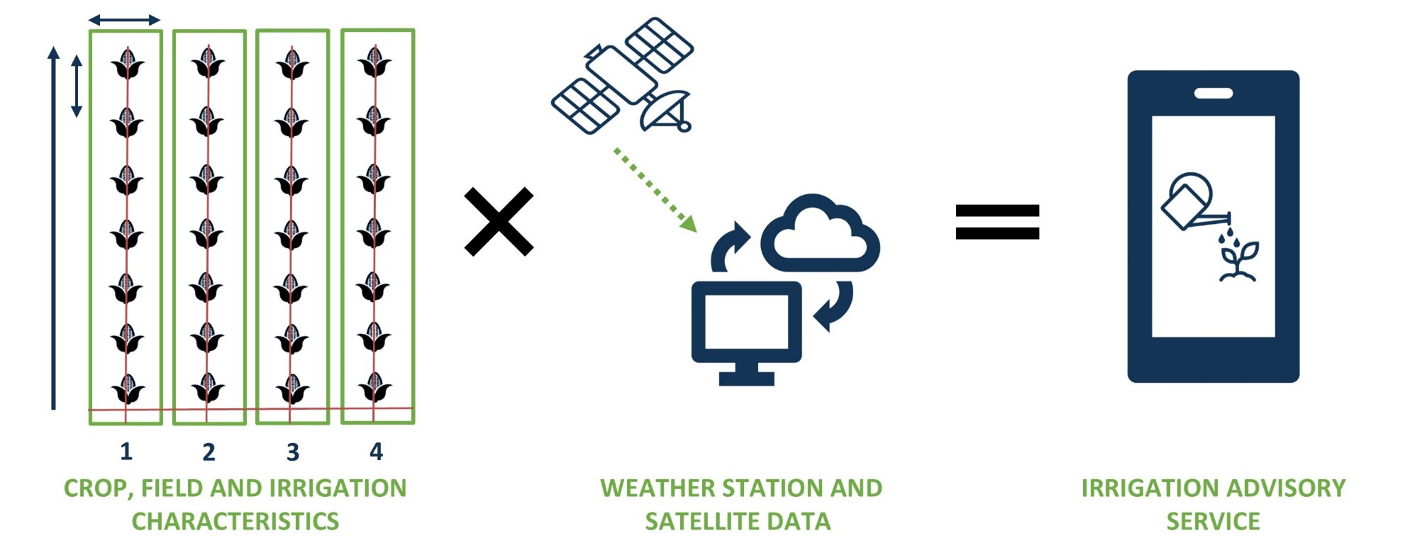
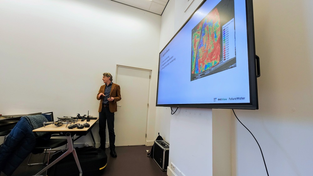
One key component of the MAGDA system is IrriSPHY-1D, an advanced agro-hydrological model empowered by FutureWater embedded in MAGDA’s irrigation advisory service. IrriSPHY-1D accurately simulates soil moisture dynamics within the crop root zone, and compute Irrigation Water Requirement (IWR) more accurately than ever before. This enhanced capability enables farmers to optimize water application rates, and to reduce waste and minimize the environmental impact of irrigation practices.
The integration of MAGDA datasets —including high-resolution atmospheric data from Meteodrones, satellite soil moisture, and soil moisture retrievals via GNSS reflectometry— within IrriSPHY-1D significantly enhances irrigation advisories. This data fusion enables the system to provide more reliable and actionable irrigation forecasts, improving water management and resilience in agriculture.
With this innovative approach and scientific validation mark, FutureWater and MAGDA’s partners have made a significant contribution to advancing sustainable and climate-resilient farming practices across Europe.