In November, the annual SPHY Community Session brought together users of the Spatial Processes in HYdrology (SPHY) model. The session provided a platform to share model developments, methodological advances, and applied case studies across different contexts.
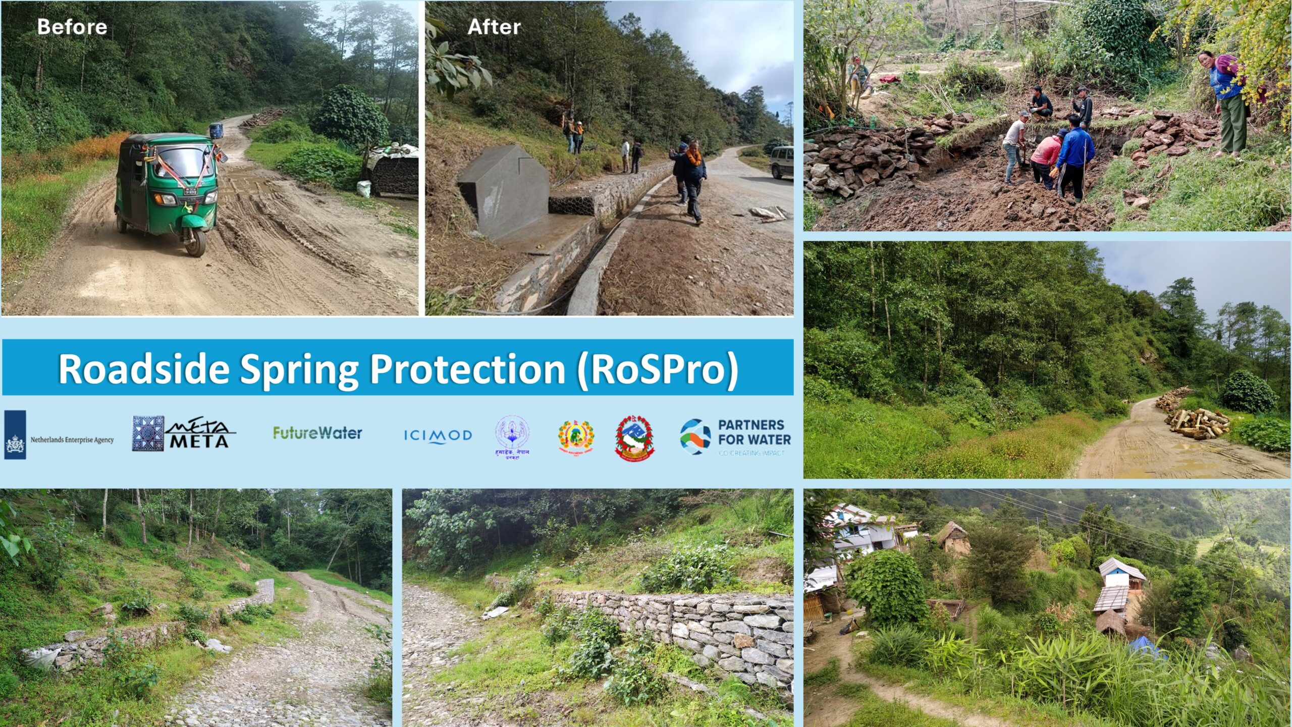
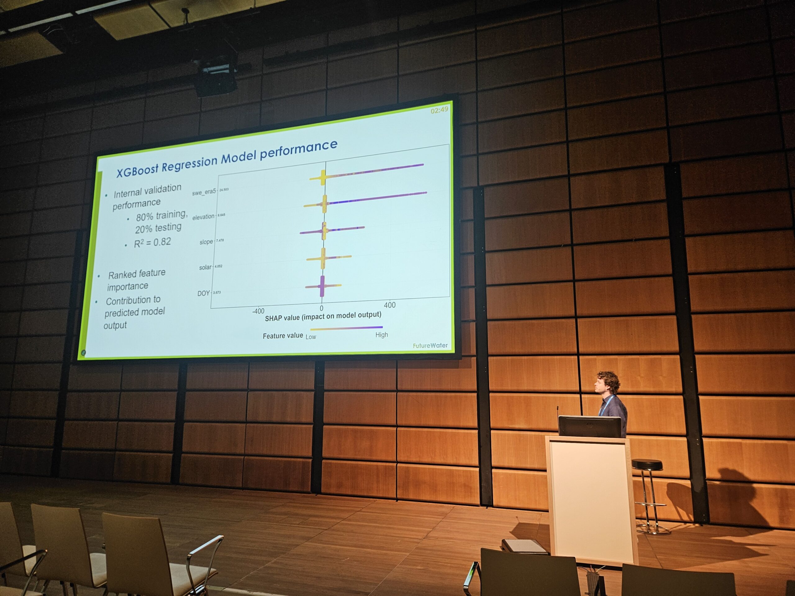
The annual SPHY Community Session opened with updates on the new SPHY version 3.1 presented by Tijmen Schults. Dr. Johannes Hunink reflected on the history of SPHY and its use in research-based consultancy, after which Amelia Fernández Rodríguez introduced the new SPHY QGIS 3 plugin, demonstrating how SPHY is now embedded and accessible in the latest version of QGIS. Researchers and practitioners from various institutes then presented their work using SPHY in different contexts. Dr. Faiz Mohammed shared an agent-based socio-hydrology approach to support sustainable and equitable water management investments, while Dr. Joris Eekhout discussed how future changes in irrigation water supply and demand may affect water security in a Mediterranean catchment. Pranisha Pokhrel presented her application of SPHY in the Karnali River Basin in Nepal, and the session concluded with a presentation by Tijmen Schults on simulating spring discharge within the Roadside Spring Protection project in Nepal.
The session reflected the growing and diverse SPHY user community and the importance of continued exchange between research and practice. We thank all speakers and participants for their contributions and engagement, which support the further development of the SPHY model. A next SPHY Community Session will be held in November 2026.