FutureWater tackles the increasing complexities in water management by employing a variety of advanced methodologies, benefitting from strong connections with both academic and policy-making spheres. Our focus is on converting data into valuable information and knowledge, which is essential for effective policy development. In collaboration with academic partners, we constantly refine these methodologies to enhance policy formulation.
Our proactive research approach utilizes models to explore current and future challenges in water management, while also considering historical and present practices. This comprehensive perspective ensures informed and sustainable solutions for water management.

Hydrological Modelling
SPHY is a spatial water balance model that integrates hydrological processes and is flexible in scale and time. We apply SPHY in various projects, such as understanding hydrological changes, watershed management, irrigation management, runoff forecasting, land degradation and restoration, energy assessment and hydroclimatic extremes research. The model can be adapted to different climatic conditions and uses different input data.
Satellite Remote Sensing
We use satellite data to track various environmental variables such as vegetation, rainfall and land surface temperature. This data helps understand water resources, identify trends and support decision making. Satellite images are combined with models to gain insight into the past, present and future availability of water. We apply this approach in projects focused on drought, ecosystem services and sustainable land management.
Water Allocation and Planning
We provide advice to water managers on different time scales, from day-to-day operational management to strategic decision making in river basins. We use models and tools such as WEAP and SPHY to simulate water supply and demand, and in this way we have built WEAP models for the Segura catchment area in Spain and investigated irrigation investments in Asia.
Climate Risk Assessments
We play an important role in conducting Climate Risk Assessments (CRA) for potential investment projects. We are actively involved in developing and refining approaches to CRA in collaboration with reputable investors such as the World Bank and the Asian Development Bank. In doing so, we focus on both top-down approaches, in which climate scenarios form the basis for impact assessments, and bottom-up approaches that focus on vulnerability.

Flying Sensors
We provide farmers in developing countries with valuable information through affordable drones. These drones provide ultra-high resolution images that enable farmers to detect crop stress and make decisions about irrigation, fertilization and pesticides. This service currently operates in Kenya and Mozambique and uses local operators and agronomists.
Drought Early Warning
FutureWater implements a multi-layer early warning system for drought that integrates satellite- and ground-based monitoring, hydrological and agro-climatic modelling, seasonal forecasting and risk assessment to deliver actionable insights for stakeholders from farmers to policymakers.
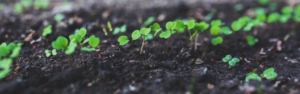
Crop Growth Models
Crop growth models can be applied in different ways, depending on the underlying equations and the desired goal. We use models such as SWAP, SWAT and AquaCrop to predict crop development and growth. These models are enhanced by using satellite and drone data, resulting in more accurate assessments of crop development and water productivity.
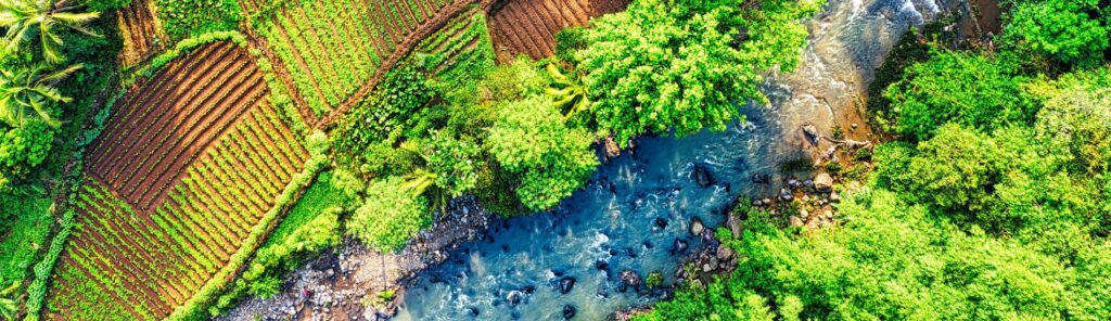
Water-Energy-Food-Ecosystem Nexus
We apply the Water-Energy-Food-Ecosystem (WEFE) Nexus approach to address the complex interconnections between these four sectors. By using our REWEFe tool, an interactive and user-friendly tool, we help stakeholders assess trade-offs and synergies by building different scenarios. This approach enables informed decision-making, ensuring sustainable resource management while balancing competing demands.
