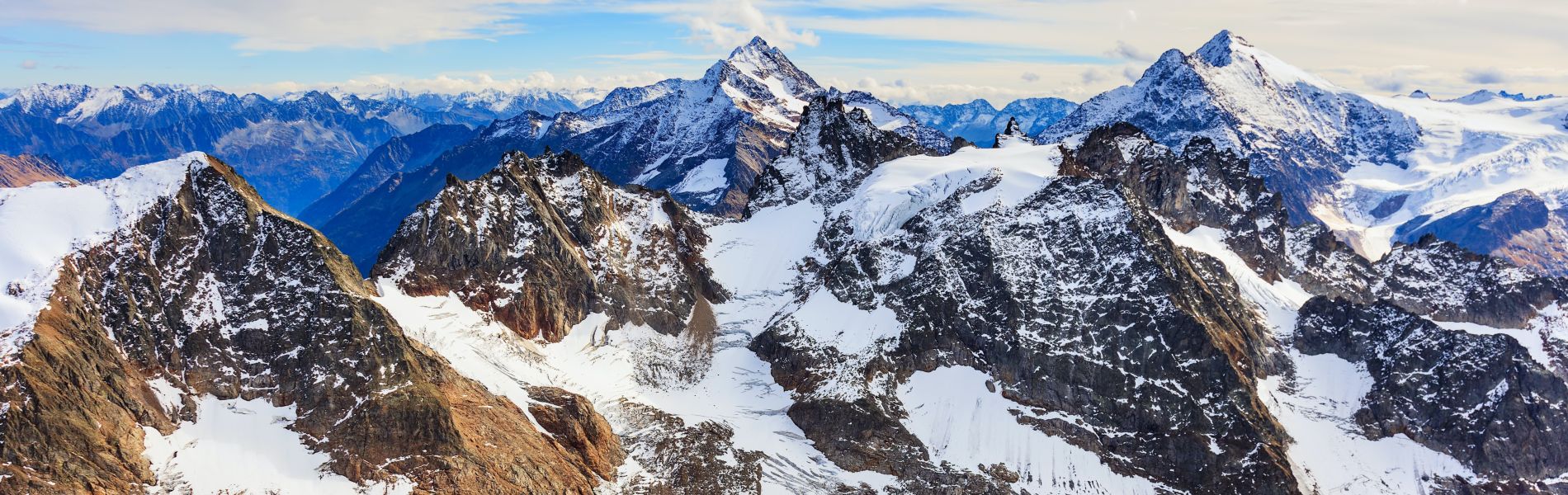
Challenge
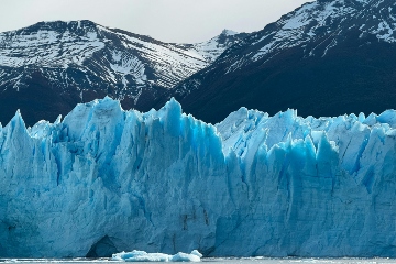
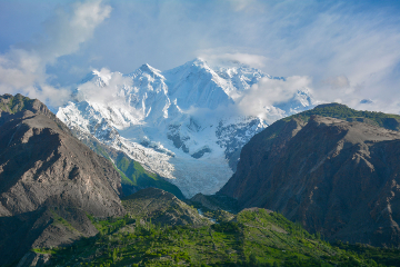
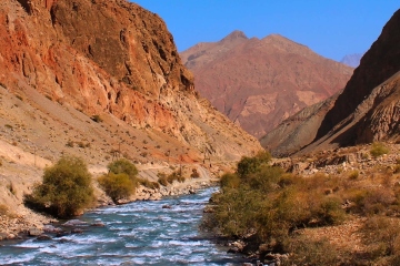
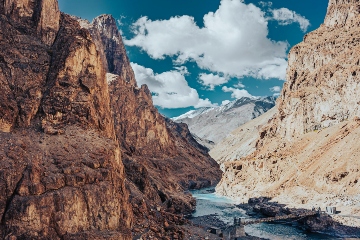
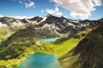
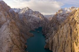
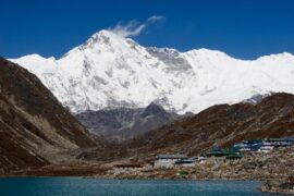
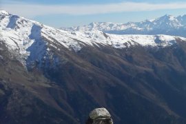
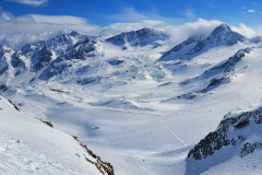
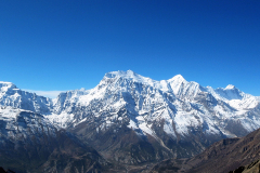
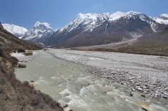
Mountain water resources provide freshwater to more than two billion people worldwide. Snow and ice stored in mountain regions are released gradually through melt, sustaining rivers that supply water to agriculture, households, industry, hydropower, and ecosystems downstream. Climate change is putting this system under pressure. Rising temperatures reduce snow accumulation and accelerate melt, changing when and how much water becomes available during the year. In many regions, peak flows are expected to occur earlier, while water availability during the dry season may decrease. At the same time, extreme events such as floods and landslides are becoming more frequent in mountain areas. These changes coincide with growing water demand downstream, increasing risks for water security, ecosystems, and long-term investments in water and energy infrastructure.
Typical questions
- How is climate change expected to affect future water availability from mountain regions?
- How will changes in snow and glacier melt affect rivers downstream?
- What does this mean for irrigation, drinking water, hydropower, and ecosystems?
- How exposed are existing and planned water and energy investments to these changes?
- How can future climate risks in mountain regions be better understood and managed?
FutureWater approach
FutureWater is specialized in understanding mountain hydrology, how it is changing, and what this means for water availability downstream. We combine scientific analysis with applied consultancy to support planning, adaptation, and investment decisions in mountain and downstream regions. We use hydrological models, including our in-house Spatial Processes in Hydrology (SPHY) model, to assess how climate change affects snow, meltwater, and river flows in mountain regions, including areas with limited data. In addition, FutureWater applies machine learning techniques to improve the spatiotemporal representation of rainfall, snow and melt processes in mountain regions by combining climate data, satellite observations, and in situ measurements. Combined, these analyses are used to assess future water availability, changes in seasonality, and interactions with water demand.
FutureWater supports hydropower planning by analysing future river flows and their implications for power generation and investment risks. We also carry out climate risk assessments for mountainous regions across multiple sectors. Our assessments are carried out at different spatial scales, from individual catchments to large river basins. A key element of our approach is linking upstream changes in mountain regions to downstream impacts, supporting integrated water resources management across the water-food-energy nexus.
Our Solutions
Hydrological Modelling
SPHY is a spatial water balance model that integrates hydrological processes and is flexible in scale and time. We apply SPHY in various projects, such as understanding hydrological changes, watershed management, irrigation management, runoff forecasting, land degradation and restoration, energy assessment and hydroclimatic extremes research. The model can be adapted to different climatic conditions and uses different input data.
Water-Energy-Food-Ecosystem Nexus
WaterMaps is the web portal where our geo-data products and results are brought together, derived from various water-related projects and services around the world. WaterMaps contains a growing collection of interactive analysis and information products used to assess the effects of floods, droughts, irrigation, hydropower and food production.
Related projects
-
Climate Hazard Profiles for Georgia’s Rural Water Programme
Rural water infrastructure in Georgia is being designed against a shifting climate baseline: heavier multi-day rainfall is destabilizing mountain slopes in the Greater Caucasus, longer dry spells are stressing irrigated agriculture in the south and east, heatwave days are rising sharply from a low historical baseline, and Black Sea sea-level...
-
MountAInWater: Global Reanalysis of Mountain Water Resources and Future Tipping Points
Mountains supply freshwater to billions of people, yet our understanding of how glaciers, snowpacks and permafrost are responding to climate change remains incomplete, particularly at the global scale. Critical tipping points in the cryosphere could fundamentally alter water availability downstream, with far-reaching consequences for agriculture, energy and ecosystems. To increase...
-
Climate Risk Assessment and Prioritisation of Existing and Planned Reservoirs in Armenia
For the Asian Development Bank, FutureWater assesses how climate change will affect Armenia's existing and planned reservoirs across the country's six primary river basins. Using the SPHY hydrological model with ERA5 and NASA-NEX climate projections, the assessment examines water availability, seasonality, and the shift to earlier snowmelt that reduces late-summer...
-
3POLE4FOOD: Upstream-Downstream Linkages in Major Asian River Basins
Mountain water resources are essential for food production across Asia. Many major river basins originating in High Mountain Asia support large irrigated agricultural areas downstream, where millions of people depend on reliable water availability for crop production, livelihoods and food security. Climate change is expected to alter snow and glacier...
-
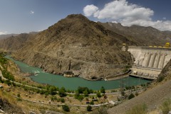
Water Supply-Demand Gap analysis for Rogun Dam
The Rogun Hydropower Plant Project (HPP) is a large project (3,780MW) under construction located on the Vakhsh River located about 110 km East-Northeast of Dushanbe, the capital of Tajikistan. It is a Project that will have a large reservoir capable of providing seasonal regulation. It will supply firm energy during...
-
Springshed Management in the Indian Himalayas
Springs in the Hindu Kush Himalaya (HKH) region are essential for water security, agriculture, economic activities, ecosystem services, biodiversity, and cultural heritage. They sustain nearly 240 million people, including 50 million in India who depend directly on these springs for their water needs. However, almost half of the perennial springs...
-
Megadroughts in Europe’s Watertowers – From Process Understanding to Strategies for Management and Adaptation
Megadroughts are rare and poorly understood hazards. They are defined as exceptionally severe, multi-year, prolonged (>5 years) periods of drought that impact severely large areas and different sectors of the economy and the environment (Cook et al., 2022). They are generally caused by the concurrence of extreme events of dryness...
-

Integrated Water Resources Management in Tajikistan
Given the abundant freshwater resources in Tajikistan, water plays a crucial role in the country's socioeconomic development. However, the rising population, economic growth, and the growing impacts of climate change pose significant challenges to ensure water availability and accessibility. This project aims to address the aforementioned information gap by improving...
-
GLOW: Global Water Availability Forecasting Service to Support Water Security
The GLOW project aims to pilot an operational service that provides timely and easy access to current and forecasted water availability and demand across the entire Maputo River and the Black Umbeluzi River Basins.
-
WE-ACT: Water Efficient Allocation in a Central Asian Transboundary River Basin
The WE-ACT project’s overall goal is to demonstrate a Decision Support System (DSS) for water allocation in a Central Asian transboundary river to increase shared benefits and foster the adaptation of water resources management and planning to climate change.
-
Climate Risk and Adaptation Assessment for Hydropower Project in Nepal
Climate risk and adaptation (CRA) assessment is required for the 635 MW Dudhkoshi hydroelectric project (DKSHEP) to ensure the project addresses climate change mitigation and adaptation in accordance with ADB’s requirements. The initial Climate Risk Assessment (CRA) by FutureWater in 2021 suggested the project is likely to be affected by...
-
Climate Risk and Adaptation Assessment for Nepal’s Power Sector
Nepal’s power sector predominantly relies on hydropower generation. Hydropower is vulnerable to climate change and natural disasters caused by climate change. An understanding of the future impact of climate change on hydropower assets and their performance is important for the successful implementation of hydropower projects. Climate risk and adaptation (CRA)...
-
Development of a Glacio-Hydrological Model and IWRM Plan for the Uttarakhand subbasin in India
The Swiss Agency for Development and Cooperation’s (SDCs) Global Programme Climate Change and Environment (GP CCE) India is supporting the operationalization of climate change adaptation actions in the mountain states of Uttarakhand, Sikkim and Himachal Pradesh through the phase two of the “Strengthening State Strategies for Climate Action” (3SCA) project...
-
Hydrological Assessment for Hydropower in the Lukhra River
The objective was to develop a hydrological assessment for a planned run-of-river hydropower plant in the Lukhra river basin in Georgia. There is no observed river discharge data available. Hence, the assessment was developed based on hydrological simulations of the basin using the SPHY model (Terink et al., 2015) and...
-
Glacio-hydrological Assessment for Hydropower in the Nakhra River
The objective was to develop a glacio-hydrological assessment for planned run-of-river hydropower plant locations in the Nakhraa river basin in Georgia. The availability of observed river flow data is limited. Hence the assessment was developed based on hydrological simulations of the basin using the SPHY model (Terink et al., 2015)....
-
Thought Leader Convening on Water Towers
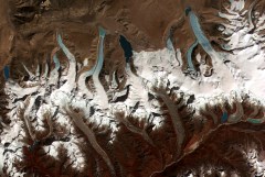
Scientists from around the world have assessed the planet’s 78 mountain glacier–based water systems and, for the first time, ranked them in order of their importance to adjacent lowland communities, as well as their vulnerability to future environmental and socioeconomic changes. These systems, known as mountain water towers, store and...
-
Pan-TPE: Changes in the Pan-Third Pole Water Tower
The proposed research targets changes in climate, water supply and demand, and suitable adaptation measures for green development of the Silk Road Economic Belt (SREB) in the river basins crossed by the SREB transect. Given the strong role of large scale hydrology in the proposed research activities, the spatial domain...
-

Climate Risk Assessment Using the Decision Tree Framework
The novel methodology that is piloted by the World Bank for assessing climate risks versus other risks on water resource projects, called the Decision Tree Framework (DTF), is applied to two two planned investments: (1) flood protection infrastructure and irrigated cropland expansion on the Nzoia river, Kenya; and (2) the...
-
Hydropower Development Assessment for the Tamakoshi River Basin
The overall objective of this project is to improve the understanding of the expected impacts of climate change on water availability in the context of potential hydropower development in the Tamakoshi River Basin. Specifically, the project aims to (i) Understand the current baseline hydrological regime of the Tamakoshi River Basin,...
-

Review Climate Change Hindu-Kush-Himalaya
FutureWater provided a comprehensive review study on climate change and the impacts on cryosphere, hydrological regimes and glacier lakes in the Indus, Ganges, and Brahmaputra river basins. This review study was done in the context of future hydropower development in the region.
-

HI-AWARE: Himalayan Adaptation, Water and Resilience
HI-AWARE aims to contribute to enhanced adaptive capacities and climate resilience of the poor and vulnerable women, men, and children living in the mountains and flood plains of the Indus, Ganges, and Brahmaputra river basins. Research, including modeling, scoping studies, action research, and randomized control trials, is conducted at 12...
-
Central Asia Regional Risk Assessment for Water Related Energy Sector Impacts
The objective of this study was to support the “Central Asia Regional Energy Sector Vulnerability Study” led by Industrial Economics (IEc) and funded by the World Bank, by carrying out an expanded risk assessment for water availability and water related energy sector impacts in Central Asia. The work built on...
-
Gridded Meteorological Datasets and Hydrological Modelling in the Upper Indus Basin
Understanding of the hydrological regimes in the mountainous Upper Indus basin (UIB) is essential for water resources management in the region. High-resolution gridded meteorological datasets, which capture the spatial variability of precipitation, are critical for modelling the hydrology of high-mountain regions. Improvements to existing gridded datasets using high-elevation station data...
-
Monitoring of Glacier, Climate and Runoff in the Hindu – Kush Himalayan Mountains
For this project a review was conducted of current state of knowledge in (i) climate change datasets and downscaling used for glacier and high mountain modelling, (ii) glacier and snow contribution to river runoff in the Hindu – Kush Himalayan (HKH) region, (iii) hydrological modelling studies used for glacier and...