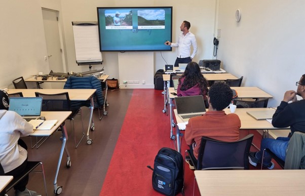
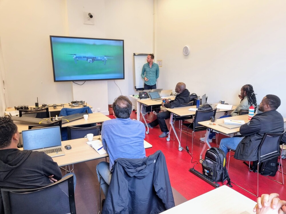
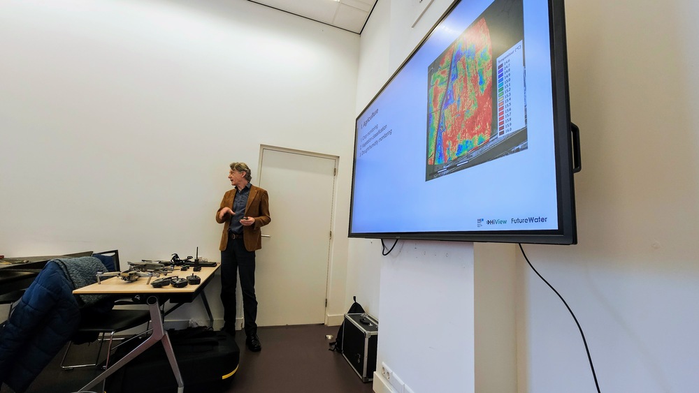
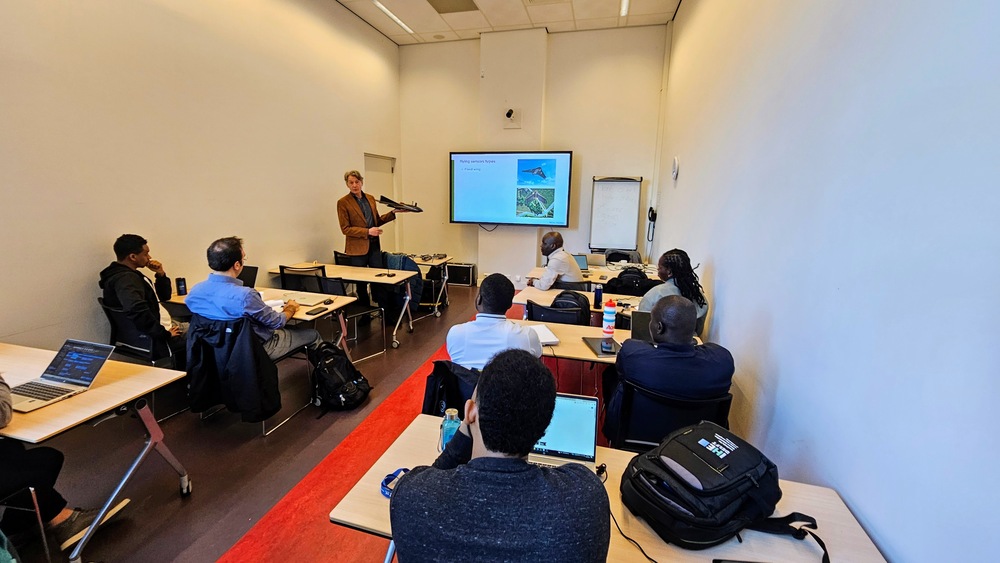
This week, FutureWater, in collaboration with its partner HiView, conducted a two-day workshop at IHE Delft Institute for Water Education, which works in association with UNESCO. The workshop was part of the master’s degree program, with seven students receiving education on the theory of flying sensors (commonly known as drones), their various applications, and their utilization in agriculture, matching the number of attendees from the previous year.

On the first day, participants were engaged in a classroom session that covered the history, technical aspects, and applications of flying sensors, alongside an introduction to image processing. Additionally, they delved into FutureWater’s diverse drone projects across Africa, where drones are primarily used to create NDVI (Normalized Difference Vegetation Index) maps for farmers. These maps highlight areas of crop stress, indicated by red, signaling potential issues such as water or nutrient deficiencies or the presence of pests or weeds. With specialized cameras, these drones can detect stress signs up to 10 days before they become visible to the naked eye, allowing farmers to take preemptive actions to prevent crop damage and achieve higher yields. This approach also enables farmers to optimize their use of water, fertilizers, and pesticides by targeting only the affected zones.

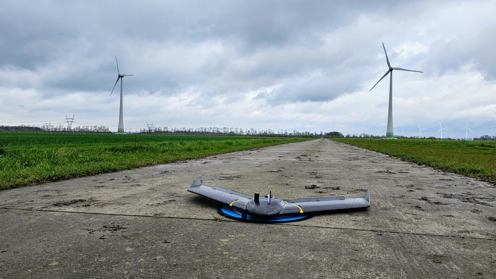
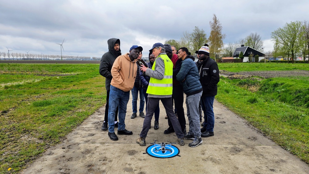
The second day featured an excursion to the Farm of the Future, a project in Lelystad, Flevoland, that brings together Wageningen University & Research and innovative Dutch farmers to develop viable solutions for contemporary agricultural challenges. Contrary to the previous year’s rainy conditions, the weather remained clear, enhancing the outdoor learning experience. During this visit, the eBee fixed-wing drone was showcased among other drone flights, including the demonstration of the DJI Mavic 2, a highly maneuverable quadcopter used by FutureWater and HiView in projects within Kenya and Mozambique. Additionally, the innovative Rapid Eye XS drone, developed by HiView for small-scale agriculture among other applications, was introduced. This ultra-light drone is capable of processing NDVI imagery onboard and is user-friendly, marking a step forward in precision agriculture technology.

Last week FutureWater and HiView collaborated to provide a valuable training session focused on Remote Sensing and Climate Smart Agriculture. This event took place at the FutureWater office and was an integral part of the Shiraka Training Programme (STP) coordinated by The Hague Academy for Local Governance.

Participants from the MENA region gained practical insights into the potential applications of drones and satellite data in agriculture. The session aimed to highlight how these technologies can contribute to precision farming, crop health monitoring, and addressing climate change impacts in agriculture.

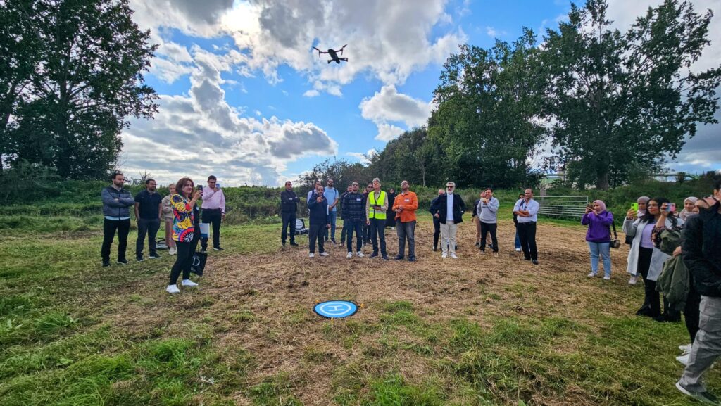
A notable aspect of the training was a drone demonstration in the scenic floodplains of Wageningen, illustrating the tangible uses of remote sensing technologies in agriculture. This demonstration emphasized the role of technology in enhancing agricultural efficiency, resilience, and sustainability.

The event encouraged discussions among participants about the feasibility of implementing similar technologies in the MENA region to address agricultural challenges. FutureWater’s emphasis on practical insights demonstrated its commitment to promoting sustainable agriculture in the region.

FutureWater and HiView’s collaboration in this training program represents a significant step toward a more informed and adaptive agricultural sector in the MENA region. Their efforts contribute to the ongoing development of sustainable practices in agriculture.

Drone demonstration in Wageningen
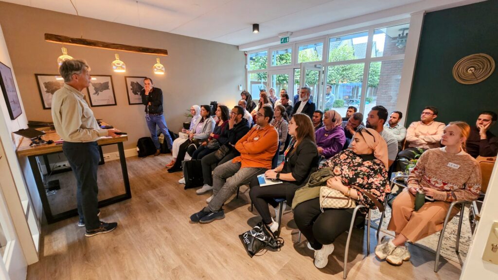
Theoretical session at FutureWater office in Wageningen
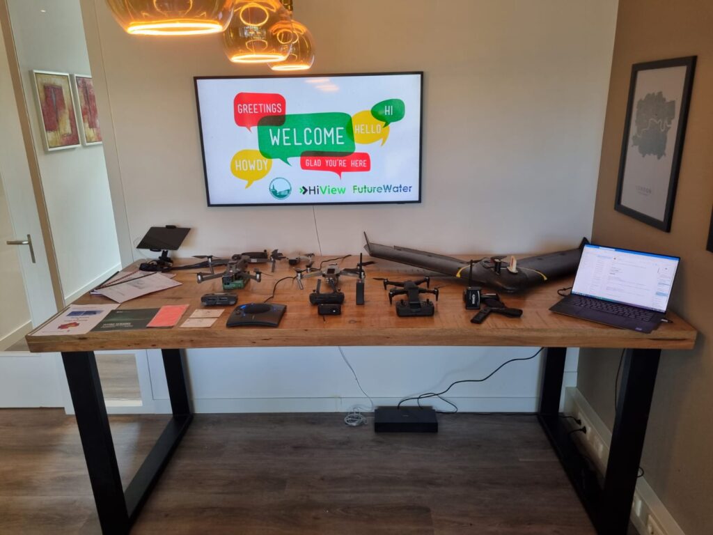
HiView equipment


FutureWater’s partner HiView has completed the prototype of their latest innovation, the Rapid Eye XS. This ultra light drone is designed in the first place for the use in small scale agriculture, but has many other potential applications. It can process NDVI imagery on-board, and is very easy to use. FutureWater played a prominent role in the development of this revolutionary system, partly thanks to the TWIGA project, funded by the European Commission’s Horizon 2020 programme. 

Features

The prototype of the Rapid Eye XS is equipped with a Raspberry Pi near-infrared camera that can be used to monitor crop performance. It can be launched very quickly using a single button on the remote control. It has a return-to-home function to make sure the drone will always find its way back.

Once airborne the camera can be triggered through a radio connection, with a range up to 400 meters. Right after capturing the image at a typical height of 120 meters, an NDVI map is produced on the fly in as little as 12 seconds.

A global premiere: NDVI processing on board

Shortly after landing, the NDVI map can be downloaded in-field on any mobile phone or tablet through Wi-Fi or Bluetooth and can be viewed instantly in the field, without needing complex time-demanding processing skills that are usually required.

Easy-to-understand colors on the map indicate healthy and problematic zones, which the agronomic pilot assesses in the field right away, together with the farmer. In this way the map is used to provide real time advisory to farmers on how to improve their crop growth.

Real time in- field advisory

As these farmers usually have limited access to resources and are often hindered in their access to information, this real time advisory will help improve their farming practices and increase their yield and water productivity.

Agronomists and farmers from all over the world are already responding very positively to the first prototype of this innovative small scale drone. By downgrading the performance requirements and with a cost price of just a few hundred euros, the Rapid Eye XS is going to be a real game-changer for smallholder farmers in developing countries.

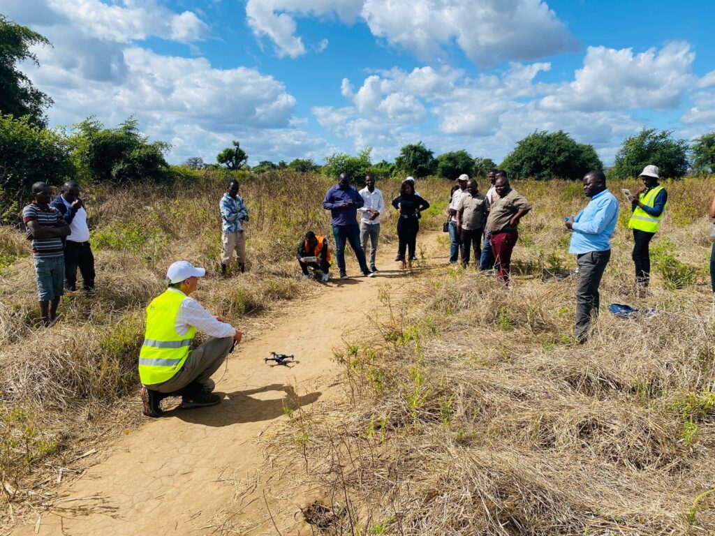
Field demonstration with farmers in Mozambique.
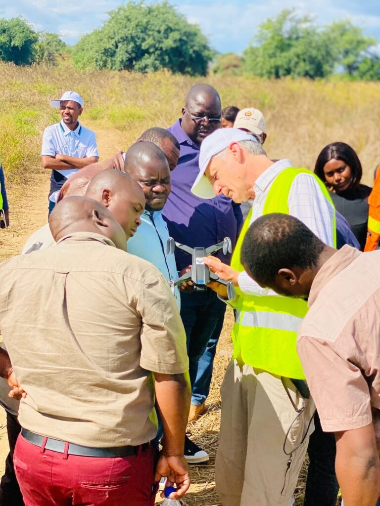
Inspection of the new drone in Mozambique.