Concept
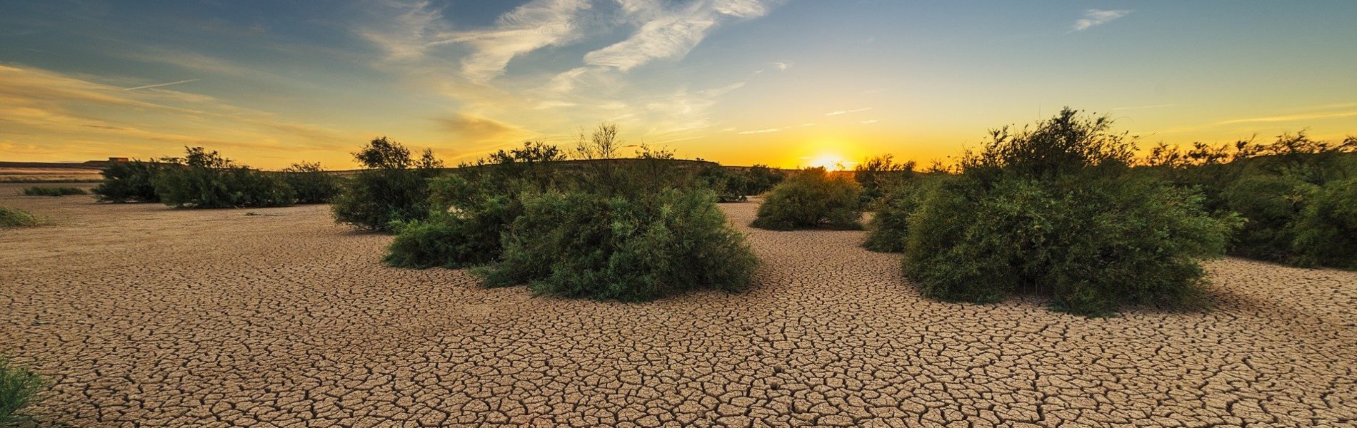
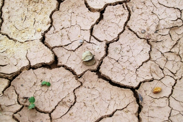
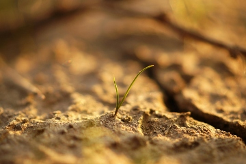
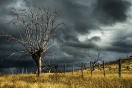
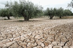
Drought is a complex and slow-onset natural hazard that can have severe impacts on agriculture, water supply, ecosystems, and economies. Drought early warning is a key component of risk mitigation and plays a vital role in enhancing preparedness for potential impacts. Drought Early Warning Systems (DEWS) typically integrate data from various sources—including satellite observations, climate forecasts, hydrological models, and field measurements—to provide timely and actionable warnings.
FutureWater’s approach to drought early warning is based on a multi-layered framework that includes:
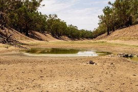
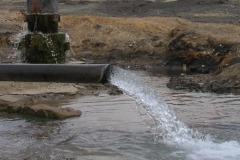
- Monitoring: Extracting indicators from near-real-time satellite data, hybrid sources, and reanalysis datasets (e.g., rainfall and vegetation health anomalies, climate oscillation indices, river streamflows, and changes in groundwater and lake/reservoir levels) to detect early signs of drought and track its progression across landscapes.
- Modeling: Using hydrological and agro-climatic models to simulate critical variables such as soil moisture, crop stress, and water availability.
- Forecasting: Integrating weather forecasts with advanced statistical methods to anticipate drought onset and impacts on seasonal and longer timescales.
- Risk Assessment: Evaluating the potential consequences of drought for ecosystems, and for water and food security in human systems.
- Communication: Delivering user-specific, actionable insights—such as warnings and alerts—through intuitive maps and user-friendly dashboards that support effective and timely decision-making.
This integrated approach empowers stakeholders—from farmers to policymakers—to make informed, proactive decisions in response to increasing drought risks.
FutureWater applications
FutureWater develops and implements drought early warning systems tailored to specific local conditions and user requirements. We have successfully applied our solutions across Africa, Asia, and Latin America. Our systems are adaptable to diverse climate zones, data availability, and institutional settings.
All of FutureWater’s drought-related expertise is embedded in our in-house platform InfoSequia—a fully operational system for monitoring droughts and forecasting their potential impacts. InfoSequia demonstrates how a well co-designed, data-driven approach can support early action and effective drought risk reduction.
In addition to InfoSequia, FutureWater assists governments, water managers, and development organizations with:
- Developing customized drought monitoring tools
- Integrating early warning systems into agricultural advisory services
- Supporting national drought policy development and resilience strategies
- Providing training and capacity building in drought risk management
FutureWater offers the expertise and tools needed to build effective, science-based early warning and forecasting systems that promote sustainable water and agricultural management under drought conditions.
Our In-House Tools & Services
InfoSequia: Drought Monitoring and Forecasting
InfoSequia is a powerful tool for proactive drought monitoring and forecasting. By integrating satellite data, machine learning, and real-time analytics, it delivers precise, impact-based insights to help decision-makers mitigate water scarcity and agricultural risks effectively.
Related projects
-
I-DIP: Monitoring, Forecasting and Tackling Flash Droughts in Pakistan
Regions in Pakistan are increasingly exposed to flash droughts – sudden dry spells that develop within weeks and severely impact crops and livelihoods. To strengthen resilience, FutureWater and WaterSprint, in partnership with the National Drought Monitoring Centre (NDMC) and the Better Cotton Initiative, are piloting I-DIP in two vulnerable districts:Bahawalpur...
-
Drought Forecasting Model for Somalia/Somaliland
This project aims to strengthen drought preparedness and response in Somalia and Somaliland by enhancing the technical and operational capacities of the Somali Disaster Management Agency (SODMA) and Somaliland’s National Disaster Preparedness and Food Reserve Authority (NADFOR). Led by the World Food Programme (WFP), FutureWater and Galayr will work on...
-

Technical Assistance for the Implementation of the European Water Resilience Strategy
FutureWater supports the European Commission as part of a consortium providing technical input for the European Water Resilience Strategy. Specifically, FutureWater contributes scientific and policy-relevant analysis on water scarcity and drought, water efficiency, and water security. This includes responding to ad hoc requests by delivering assessments on topics such as...
-

NbS for Drought Resilience in Latin America
Under this project, FutureWater supports the World Bank to fill an existing knowledge gap regarding the applicability and potential effectiveness of Nature-based Solutions to reduce risks of droughts, with a focus on Latin America. A set of NbS factsheets and an inventory of useful tools were compiled by exploring a...
-

Megadroughts in Europe’s Watertowers – From Process Understanding to Strategies for Management and Adaptation
Megadroughts are rare and poorly understood hazards. They are defined as exceptionally severe, multi-year, prolonged (>5 years) periods of drought that impact severely large areas and different sectors of the economy and the environment (Cook et al., 2022). They are generally caused by the concurrence of extreme events of dryness...
-
Increasing Investments in Early Warning Systems to Strengthen Climate and Disaster Resilience
This project aims to support the development of a new multi-hazard Early Warning System (EWS) facility, addressing the significant exposure of countries in Asia and the Pacific region to disaster risks. The enhancement of EWS aligns with global commitments, such as the Paris Agreement, Nationally Determined Contributions (NDCs), Sustainable Development...
-

GLOW: Global Water Availability Forecasting Service to Support Water Security
The GLOW project aims to pilot an operational service that provides timely and easy access to current and forecasted water availability and demand across the entire Maputo River and the Black Umbeluzi River Basins.
-
InfoSequia-4CAST: Forecasting and Quantifying Risks of Crop and Water Supply Failures Using Machine Learning and Remote Sensing
InfoSequia-4CAST combines historical and up-to-date observations of satellite-based meteorological and agricultural drought indices with climate variability indices, to generate seasonal outlooks of water supply and crop yield failure alerts. These impact-based indicators are computed using a simple, robust and easily understandable statistical forecasting-modelling framework. By making use of multi-sensor, state-of-the...
-
G3P: Development of a Global Gravity-based Groundwater Product
Groundwater is one of the most important freshwater resources for mankind and for ecosystems, and has been declared as an Essential Climate Variable (ECV) by GCOS, the Global Climate Observing System. However, the Copernicus Services do not yet deliver data on this fundamental resource, nor is there any other data...
-
TWIGA: Transforming Weather Water data into value-added Information services for sustainable Growth in Africa
TWIGA aims to provide actionable geo-information on weather, water, and climate in Africa through innovative combinations of new in situ sensors and satellite-based geo-data. With the foreseen new services, TWIGA expects to reach twelve million people within the four years of the project, based on sustainable business models. The TWIGA...
-

HERMANA: Tool for Integrated Water Management
HERMANA aims to foster the development of an integrated water management decision support system (DSS) that supports daily, tactical and strategic decision-making related to water resources in Colombia, and specifically in the Cauca Valley Basin. The HERMANA tool will be a comprehensive system able to provide valuable, relevant, and reliable...
-

DRR: Technical Assistance on Drought Information and Early Warning Systems
To address the recent drought problems in Bolivia, FutureWater and Deltares have been asked to provide recommendations on drought early warning and drought information systems, both on technical aspects as well as on institutional issues. The Dutch Risk Reduction Team has held stakeholder consultations with the Ministry of Environment and...
-
IMPREX: IMproving PRedictions and management of hydrological EXtremes
FutureWater leads the coordination of the “Agriculture and Drought” sectoral Work Package of IMPREX. This WP specifically aims to study and evaluate the use of IMPREX weather forecasts and predictions, climate variability, and drought indicators to assess agricultural drought risk and impacts over four case studies and at the pan-European...