
Chris Hurink MSc. is a Remote Sensing and Geo-Information Expert with an MSc in Geo-Information Science, specializing in Artificial Intelligence and automation. He has experience in remote sensing and geospatial analysis, bridging the gap between advanced data analytics and environmental science to better understand hydrological systems and climate impacts.
Chris is proficient in developing code for automation and has expertise in spatial intelligence, climate risk assessment, and the processing remote sensing data. Chris has contributed to an variety of projects at FutureWater, utilizing data science techniques to address complex water management challenges and focusing on transforming complex spatial analysis into actionable data-driven solutions for water and climate resilience.
Related projects
-
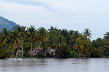
DRRS Flood Risk Assessment for Negros Occidental in the Philippines
The Province of Negros Occidental faces recurring floods that threaten its communities, roads and farmland. Through a Dutch Disaster Risk Reduction and Surge Support (DRRS) deployment, FutureWater helped the province lay the groundwork for a province-wide flood risk assessment. Working hands-on with the provincial GIS team, we strengthened the hazard,...
-
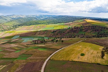
GreenLinks: Sustainable Horticulture Hubs for a Premium Market in Kenia
GreenLinks strengthens Kenya's horticulture sector by connecting small and medium-sized farmers in peri-urban Nairobi to premium domestic and export markets. Demand for safe, traceable vegetables is growing faster than supply, while most smallholders sell into informal markets where prices swing, post-harvest losses are high and pesticide use is poorly controlled....
-

DROPS-WISE: Drought & Rainfall Observation and Prediction System for Europe
DROPS-WISE (Drought & Rainfall Observation and Prediction System – Water Intelligence Service for Europe) is an advanced digital solution being developed to strengthen climate adaptation and water resilience across Europe. DROPS-WISE integrates Earth Observation data, in-situ measurements and hydrological modelling to deliver high-resolution information on drought, extreme rainfall, flooding and...
-
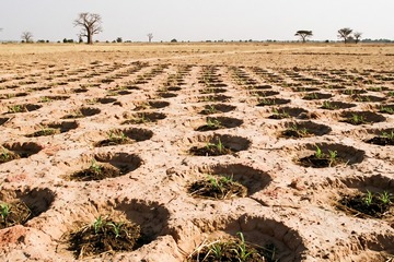
Terre365: Year-Round Integrated Climate-Resilient Farming in Burkina Faso
Terre365 introduces year-round, climate-resilient farming to smallholders in Burkina Faso, where degraded soils, erratic rainfall and limited irrigation confine most production to a single rainfed season. The project is an Impact Cluster funded by the Netherlands Enterprise Agency (RVO) and delivered by a Dutch-Burkinabé consortium led by Stichting Practica, combining...
-

Remote-sensing-based Rice Mapping and Crop Water Productivity Analysis for Two Irrigation Schemes in Timor-Leste
FAO has hired FutureWater to develop a remote-sensing-based rice mapping and crop water productivity analysis for national GIS/statistics specialists at MALFF. This analysis meets MALFF’s immediate needs on assessing rice area and productivity, and FutureWater will also support MALFF in building capacity to undertake these analyses themselves by developing a...
-
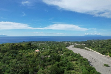
Support to Develop a Climate Adaptation Investment Plan (CAIP) in Lao PDR and Timor-Leste
The assignment applies ADB’s CAIP TA framework and involves conducting strategic Climate Risk and Adaptation assessments (CRAs) and developing a bankable pipeline of adaptation projects for public and private financing. For both Lao PDR and Timor-Leste, the CRA and CAIP are developed with a strong emphasis on IWRM and involve...
-
Climate and Disaster Risk Screening and Assessment Tool
The Asian Development Bank’s is building a next-generation Climate and Disaster Risk Screening and Assessment tool. This tool aims to provide scientifically credible and context-specific screening of projects for risks associated with climate and geophysical hazards at project concept stage in order to guide subsequent activities, including the design of...
Related publications
-
2026 - Technical Report

 Simons, G.W.H, C. Hurink. 2015. HiHydroSoil: Remote-sensing-based rice mapping and crop water productivity analysis for two rice schemes in Timor-Leste. FutureWater Report 272.X
Remote-sensing-based rice mapping and crop water productivity analysis for two rice schemes in Timor-Leste
Simons, G.W.H., C. Hurink