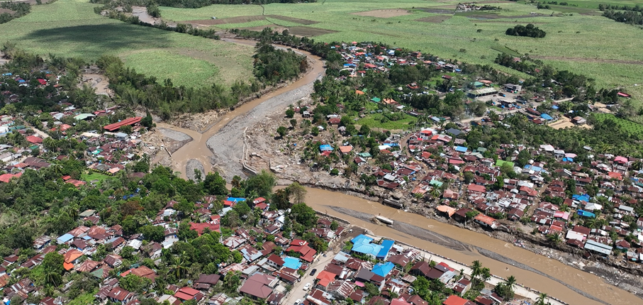
The Province of Negros Occidental faces recurring floods that threaten its communities, roads and farmland. Through a Dutch Disaster Risk Reduction and Surge Support (DRRS) deployment, FutureWater helped the province lay the groundwork for a province-wide flood risk assessment. Working hands-on with the provincial GIS team, we strengthened the hazard, exposure and vulnerability data and built lasting in-house capacity for disaster risk reduction.
Negros Occidental is regularly flooded along its river basins, and recent (super) typhoons such as Tino caused widespread damage. The provincial government and its local government units (LGUs) want to move from reactive response toward planning and prevention, but that requires a clear, shared picture of where floods happen, what is exposed and who is most vulnerable.
The province already holds a strong data foundation, including a high-resolution elevation model, national flood hazard maps and a capable GIS and drone unit within the Provincial Planning and Development Office. What was missing was a structured way to combine these datasets into one consistent flood risk picture, and the in-house capacity to keep building on it.
Chris Hurink joined an intensive in-country DRRS deployment and worked alongside the provincial GIS team. The work was organized around the three components of flood risk. For exposure, the team updated building footprints and added commercial, industrial and energy sites, plus critical infrastructure such as roads and bridges. For hazard, it started the flood hazard analysis, quality-checked the available flood layers and validated them in the field. For vulnerability, it processed Community-Based Monitoring System (CBMS) census data and linked it to the building footprints. Throughout the week, hands on training in remote sensing, Google Earth Engine and good data practice strengthened the team’s skills, using automated tools wherever possible.
With improved datasets, a clear roadmap and a better-equipped GIS team, the Province of Negros Occidental is better placed to carry out a province-wide, impact based flood risk assessment and to use the results for planning, early warning and prioritizing investments, so that its inhabitants are better prepared and protected against future floods.