At the beginning of the 21st century various tools based on Remote Sensing (RS) techniques from satellites to assist land management were developed. Yet, there were no real products dedicated for water management applications. However, around 2005 an increasing number of Remotely Sensed datasets and algorithms relevant to water managers emerged, e.g. on evapotranspiration, top soil moisture, precipitation and changes in groundwater storage. This project upgraded these algorithms to an operational water management product.
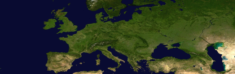
The recently released fourth assessment report of the Intergovernmental Panel on Climate Change predicts and ongoing warming trend in Europe. Specifically Southern Europe as well as the Mediterranean region are likely to suffer from prolonged drought spells in summer in the decades ahead. The Royal Netherlands Meteorological Institute (KNMI) also predicts that droughts will be more regularly manifested at the northern latitudes. The climate scenarios suggest that drier summers will plague Western Europe, intermitted by wetter winter seasons. At the European scale water shortages and drought also receive increasingly more attention. The EU water framework directive, as well as other EU water policy documents, are all based on sufficient per capita water availability and of water of good quality.
Over the last decade, various tools based on Remote Sensing (RS) techniques from satellites to assist land management have been developed. The EU is working on standard products for land; including an EU land cover map (e.g. Corine, Pelcom), crop yield forecasting (CGMS) and soil erosion. Yet, there are no real products dedicated for water management applications, In the early days of RS, images were mainly used qualitatively, but the increase in accuracy of sensors and especially a better understanding of processes, have evolved in the development of quantitative algorithms to convert raw data into useful information. In recent years an increasing number of Remotely Sensed datasets and algorithms relevant to water managers have emerged. It is now feasible to quantify (i) evapotranspiration and top soil moisture, (ii) precipitation and (iii) changes in groundwater storage based on RS. This project upgrades these research algorithms to an operational water management product.
Links
Related publications
2009 - Remote Sensing of Environment
 Immerzeel, W.W., M.M. Rutten, P. Droogers. 2009. Spatial downscaling of TRMM precipitation using vegetative response on the Iberian Peninsula. Remote Sensing of Environment 113-2: 362-370X
Spatial downscaling of TRMM precipitation using vegetative response on the Iberian Peninsula
Immerzeel, W.W., M.M. Rutten, P. Droogers
