The government of Angola considers the agricultural sector as an economic sector that offers great prospects and therefore aims to further develop the agricultural sector in order to diversify its economy. The potential for expanding the area under production is great. To support the effective planning of interventions that increase production and expand the agricultural sector, reliable information is crucial. This project focuses on the use of remote sensing for providing relevant data and information to support effective decision making and planning for the expansion of the Angolan agricultural sector. Remote sensing is applied for the Huambo Province to i) identify historical trends in land use and cropping patterns, ii) develop agro-ecological suitability maps for specific crops, and iii) construct a tentative irrigation potential map. This information is provided to the Institute for Agricultural Development (IDA) and the Faculty of Agricultural Sciences of the José Eduardo dos Santos University (UJES-FCA).
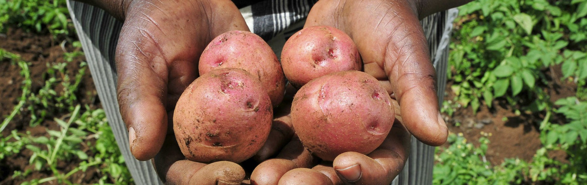
The government of Angola considers the agricultural sector as an economic sector that offers great prospects and therefore aims to further develop the agricultural sector in order to diversify its economy. The potential for expanding the area under production is great. The country has fertile soils, a favorable climate, sufficient water resources and abundant unexploited land. Specifically, the province of Huambo is mentioned as one of the most promising areas for a growing agricultural sector.
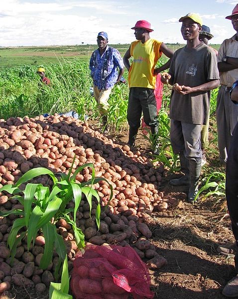
Currently, the Angolan agricultural sector is characterized by low productivity and low competitiveness. To support the effective planning of interventions that increase production and expand the agricultural sector, reliable information is crucial. The reliability of the existing data on agricultural production in Angola is unclear. Additionally, there is no insight in which regions of unexploited lands would show the highest potential yields if put into production. Therefore, the uncertainty related to investing in new land resources is high.
This pilot project focuses on the use of remote sensing for providing relevant data and information to support effective decision making and planning for the expansion of the Angolan agricultural sector.
The general purpose of the project is the development and application of remote-sensing based products that support planning and monitoring of agricultural development, and the assessment of the potential of agricultural areas for three selected crops.
The specific objectives of this pilot project are to provide the Institute for Agricultural Development (IDA) and the Faculty of Agricultural Sciences of the José Eduardo dos Santos University (UJES-FCA) with:
- Information on trends (of the past 10 years) in land use and land development and insight in the reliability of historical statistical data;
- An agro-ecological potential map for the province of Huambo for 3 crops;
- A tentative map showing irrigation potential in the Province of Huambo
Related publications
2019 - FutureWater Report 181
 Simons, G.W.H., K. Viergever, A. Kaune. 2019. Remote Sensing for Land Suitability Assessment in Angola. FutureWater Report 181.
X
Simons, G.W.H., K. Viergever, A. Kaune. 2019. Remote Sensing for Land Suitability Assessment in Angola. FutureWater Report 181.
X
Remote Sensing for Land Suitability Assessment in Angola
Simons, G.W.H., K. Viergever, A. Kaune